Roca Negra, Nahuel Huapi National Park
Map
Facts and practical information
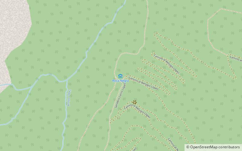
Roca Negra is a place located in Nahuel Huapi National Park (Río Negro province) and belongs to the category of hiking, outdoor activities, alpine hut.
It is situated at an altitude of 3967 feet, and its geographical coordinates are 41°5'38"S latitude and 71°32'57"W longitude.
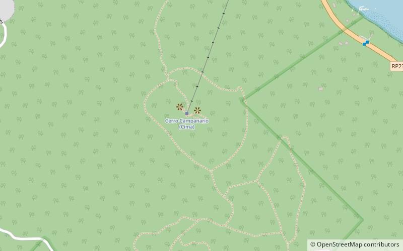
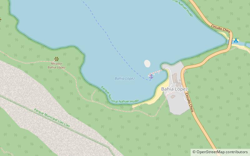
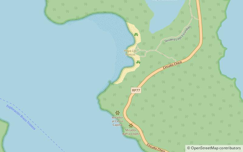
Among other places and attractions worth visiting in the area are: Cerro López (natural attraction, 34 min walk), Playa Bahía López (beach, 47 min walk), Playa Los Troncos (beach, 59 min walk).
Coordinates: 41°5'38"S, 71°32'57"W
Address
Nahuel Huapi National Park
ContactAdd
Social media
Add
Day trips