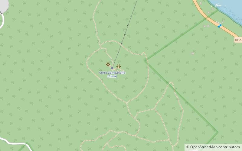
Cerro Campanario, San Carlos de Bariloche
Map
Facts and practical information
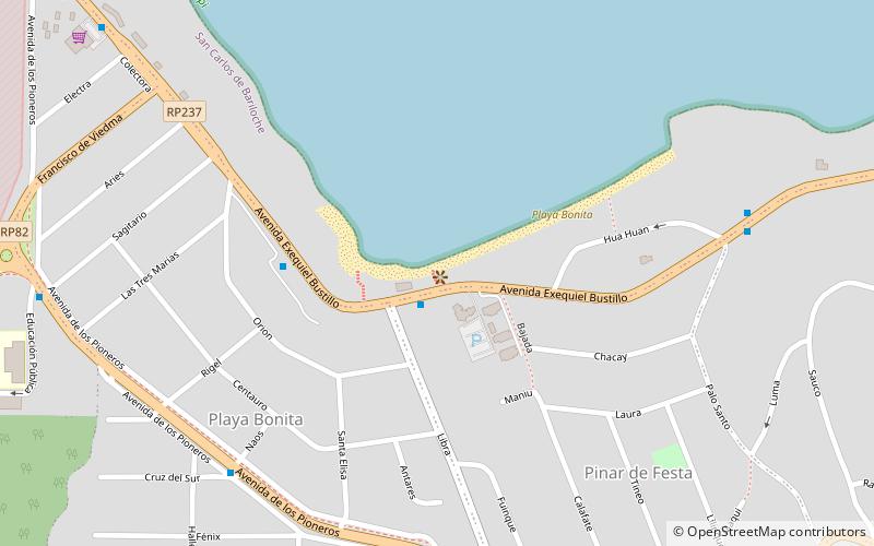
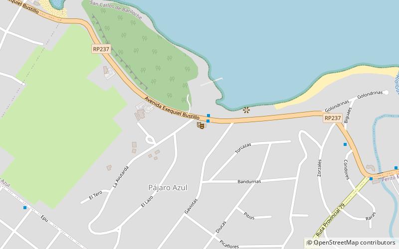
Cerro Campanario (address: Avenida Exequiel Bustillo 17500) is a place located in San Carlos de Bariloche (Río Negro province) and belongs to the category of nature, natural attraction, nature and wildlife tours.
It is situated at an altitude of 3392 feet, and its geographical coordinates are 41°4'33"S latitude and 71°28'35"W longitude.
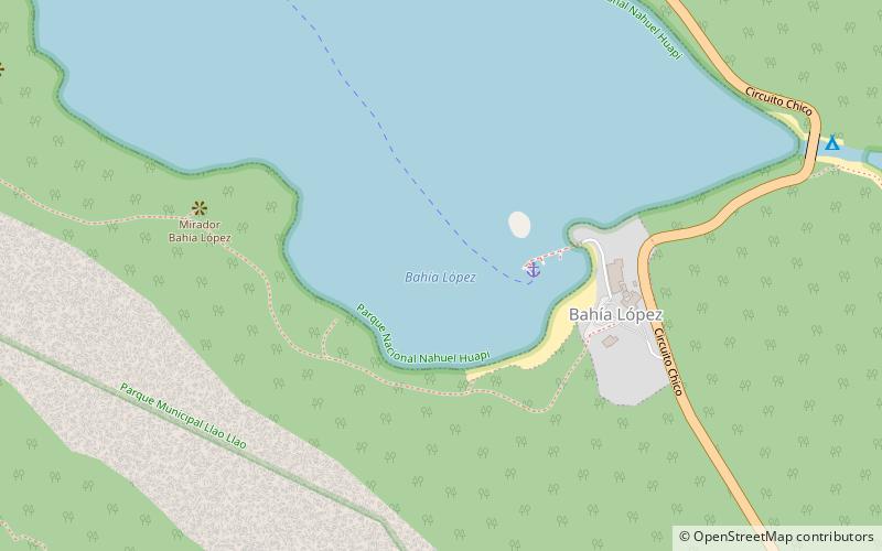
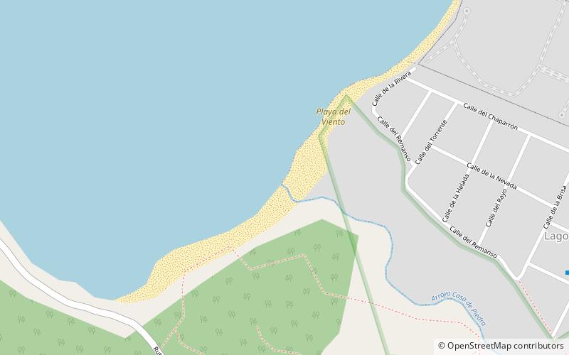
Among other places and attractions worth visiting in the area are: Playa del Viento, Colonia Suiza (beach, 56 min walk), Playa Serena (beach, 75 min walk), Capilla San Eduardo, Colonia Suiza (church, 78 min walk).
Coordinates: 41°4'33"S, 71°28'35"W
Day trips


Frequently Asked Questions (FAQ)
When is Cerro Campanario open?
Cerro Campanario is open:
- Monday 9 am - 5:30 pm
- Tuesday 9 am - 5:30 pm
- Wednesday 9 am - 5:30 pm
- Thursday 9 am - 5:30 pm
- Friday 9 am - 5:30 pm
- Saturday 9 am - 5:30 pm
- Sunday 9 am - 5:30 pm