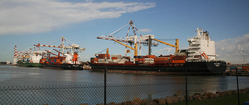
Port of Melbourne, Melbourne
Map

Gallery

Facts and practical information
The Port of Melbourne is the largest port for containerised and general cargo in Australia. It is located in Melbourne, Victoria, and covers an area at the mouth of the Yarra River, downstream of Bolte Bridge, which is at the head of Port Phillip, as well as several piers on the bay itself. Since 1 July 2003, the Port of Melbourne has been managed by the Port of Melbourne Corporation, a statutory corporation created by the State of Victoria. ()
Address
Melbourne
ContactAdd
Social media
Add
Day trips
Port of Melbourne – popular in the area (distance from the attraction)
Nearby attractions include: Newport Railway Museum, Port Melbourne, Melbourne/Hobsons Bay, St Mary's Catholic Church.
Frequently Asked Questions (FAQ)
Which popular attractions are close to Port of Melbourne?
Nearby attractions include Webb Dock, Melbourne (15 min walk), Williamstown Town Hall, Melbourne (16 min walk), HMAS Castlemaine, Melbourne (22 min walk), Newport Railway Museum, Melbourne (22 min walk).
How to get to Port of Melbourne by public transport?
The nearest stations to Port of Melbourne:
Train
Bus
Train
- North Williamstown (21 min walk)
- Williamstown Beach (26 min walk)
Bus
- Mason Street/Melbourne Road • Lines: 472 (28 min walk)
- Newport Interchange • Lines: 432, 471 (28 min walk)

 Melbourne Trams
 Victoria Trains


