Brunswick Baptist Church, Melbourne
Map

Map

Facts and practical information
Coordinates: 37°45'56"S, 144°57'43"E
Day trips
Brunswick Baptist Church – popular in the area (distance from the attraction)
Nearby attractions include: Bombay Rock, Islamic Museum of Australia, CERES Community Environment Park, Northcote Public Golf Course.
Frequently Asked Questions (FAQ)
Which popular attractions are close to Brunswick Baptist Church?
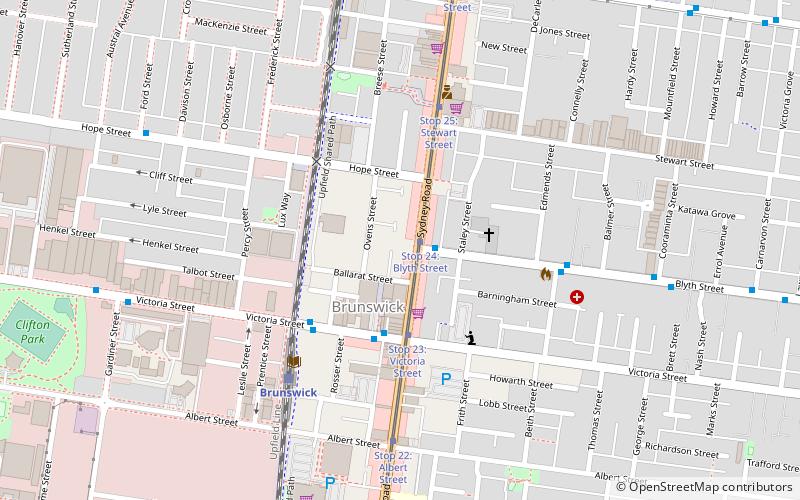
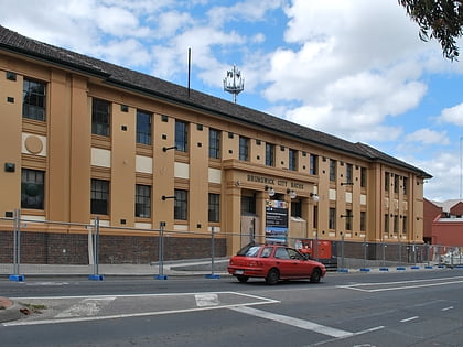
Nearby attractions include BeinArt Gallery, Melbourne (2 min walk), Melbourne/Brunswick and Coburg, Melbourne (5 min walk), Brunswick Town Hall, Melbourne (12 min walk), Brunswick Town Hall and Counihan Gallery, Melbourne (12 min walk).
How to get to Brunswick Baptist Church by public transport?
The nearest stations to Brunswick Baptist Church:
Tram
Bus
Train
Tram
- Stop 24: Blyth Street • Lines: 19 (1 min walk)
- Stop 23: Victoria Street • Lines: 19 (3 min walk)
Bus
- Sydney Road/Blyth Street • Lines: 508 (2 min walk)
- Sydney Road/Victoria Street • Lines: 508, 509 (3 min walk)
Train
- Brunswick (6 min walk)
- Anstey (9 min walk)

 Melbourne Trams
 Victoria Trains


