CERES Community Environment Park, Melbourne
Map

Gallery

Facts and practical information
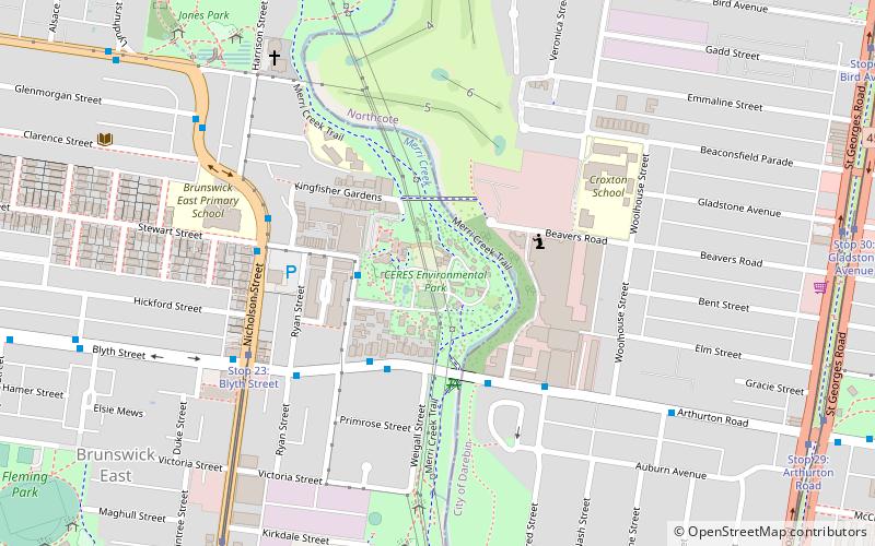
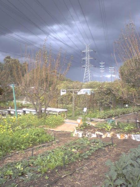
CERES Community Environment Park is a 4.5-hectare environmental education centre and social enterprise located in urban Brunswick East, Victoria, Australia. CERES stands for Centre for Education and Research in Environmental Strategies. The name also connects with Ceres the goddess of agriculture in Roman mythology. ()
Opened: 1994 (32 years ago)Elevation: 141 ft a.s.l.Coordinates: 37°45'57"S, 144°59'2"E
Address
Roberts StMoreland (Brunswick East)Melbourne 3057
Contact
+61 3 9389 0100
Social media
Add
Day trips
CERES Community Environment Park – popular in the area (distance from the attraction)
Nearby attractions include: Northcote Shopping Plaza, Islamic Museum of Australia, Northcote Public Golf Course, Bill Lawry Oval.
Frequently Asked Questions (FAQ)
When is CERES Community Environment Park open?
CERES Community Environment Park is open:
- Monday 9 am - 5 pm
- Tuesday 9 am - 5 pm
- Wednesday 9 am - 5 pm
- Thursday 9 am - 5 pm
- Friday 9 am - 5 pm
- Saturday 9 am - 5 pm
- Sunday 9 am - 5 pm
Which popular attractions are close to CERES Community Environment Park?
Nearby attractions include Islamic Museum of Australia, Melbourne (21 min walk), Northcote, Melbourne (23 min walk), Brunswick East, Melbourne (23 min walk).
How to get to CERES Community Environment Park by public transport?
The nearest stations to CERES Community Environment Park:
Bus
Tram
Train
Bus
- Lee Street/Roberts Street • Lines: 503 (3 min walk)
- Roberts Street/Blyth Street • Lines: 508 (3 min walk)
Tram
- Stop 23: Blyth Street • Lines: 96, 96d (6 min walk)
- Stop 22: Albert Street • Lines: 96, 96d (10 min walk)
Train
- Northcote (18 min walk)
- Croxton (19 min walk)

 Melbourne Trams
 Victoria Trains


