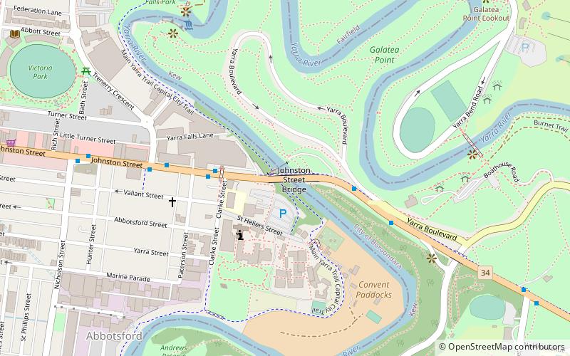
Johnston Street Bridge, Melbourne
Map

Map

Facts and practical information
Opened: 1956 (70 years ago)Coordinates: 37°48'3"S, 145°0'14"E
Address
City of Yarra (Abbotsford)Melbourne
ContactAdd
Social media
Add
Day trips
Johnston Street Bridge – popular in the area (distance from the attraction)
Nearby attractions include: Bridge Road, Smith Street Bazaar, Victoria Gardens Shopping Centre, Yarra Bend Park.
Frequently Asked Questions (FAQ)
Which popular attractions are close to Johnston Street Bridge?
Nearby attractions include Abbotsford Convent, Melbourne (3 min walk), Collingwood Children's Farm, Melbourne (6 min walk), Dights Falls, Melbourne (8 min walk), Victoria Park, Melbourne (11 min walk).
How to get to Johnston Street Bridge by public transport?
The nearest stations to Johnston Street Bridge:
Bus
Train
Tram
Bus
- Clarke Street/Johnston Street • Lines: 200, 207 (4 min walk)
- Yarra Bend Park/Studley Park Road • Lines: 200, 207 (5 min walk)
Train
- Victoria Park (14 min walk)
- Collingwood (16 min walk)
Tram
- Stop 22: McKay Street • Lines: 109, 109d, 12, 12d (18 min walk)
- Stop 21: Church Street • Lines: 109, 109d, 12, 12d (18 min walk)

 Melbourne Trams
 Victoria Trains


