Outer Circle Trail, Melbourne

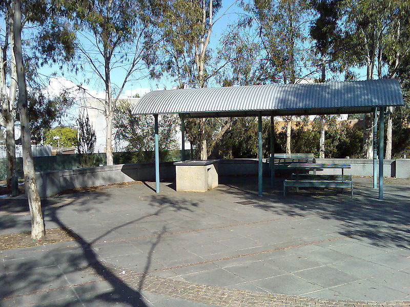
Gallery (2)
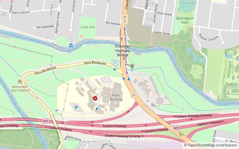
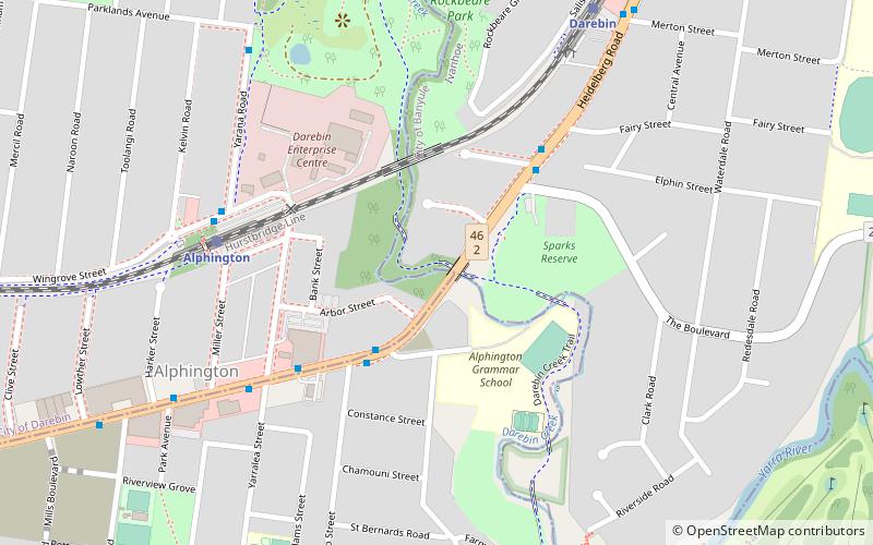
Map
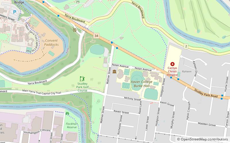
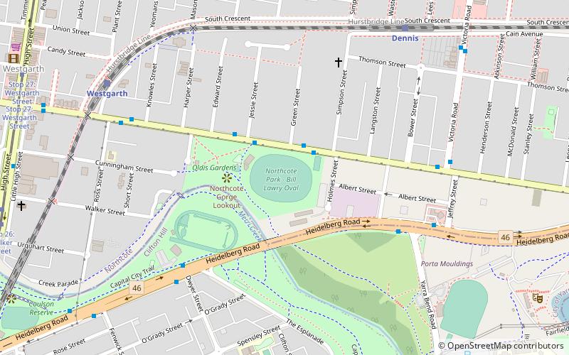
Map
Gallery
Facts and practical information
Coordinates: 37°47'18"S, 145°1'30"E
Address
Boroondara (Kew)Melbourne
ContactAdd
Social media
Add
Getting there by public transportation
Public transportation stops near this location
- Bus
- Tram
- Train
 Bus
Bus
- Calculate routeChandler Highway/Yarra Boulevard 1 min walk
- Calculate routeYarra Boulevard/Chandler Highway 1 min walk
- Calculate routeRoyal Talbot Rehabilitation Centre/Yarra Boulevard 5 min walk
- Calculate routeHeidelberg Road/Chandler Highway 10 min walk
- Calculate routeAlphington 20 min walk
- Calculate routeFairfield 20 min walk
- Calculate routeDennis 29 min walk
- Calculate routeDarebin 31 min walk
- Calculate routeStop 35: Cobden Street 33 min walk
- Calculate routeStop 35: Charles Street 34 min walk
- Calculate routeStop 36: Gladstone Street 34 min walk
Maps Melbourne TramsMaps
 Victoria Trains
Melbourne TramsMapsVictoria TrainsDay trips


Frequently Asked Questions (FAQ)
Which popular attractions are close to Outer Circle Trail?
Nearby attractions include Fairfield Industrial Dog Object, Melbourne (20 min walk), Darebin Creek Bridge, Melbourne (23 min walk), Yarra Bend Park, Melbourne (23 min walk).
How to get to Outer Circle Trail by public transport?
The nearest stations to Outer Circle Trail:
Bus
Train
Tram
Bus
- Chandler Highway/Yarra Boulevard • Lines: 609 (1 min walk)
- Yarra Boulevard/Chandler Highway • Lines: 350, 609 (1 min walk)
Train
- Alphington (20 min walk)
- Fairfield (20 min walk)
Tram
- Stop 35: Cobden Street • Lines: 48 (33 min walk)
- Stop 35: Charles Street • Lines: 48, 48d (34 min walk)