Macleay Park, Melbourne
Map

Map

Facts and practical information
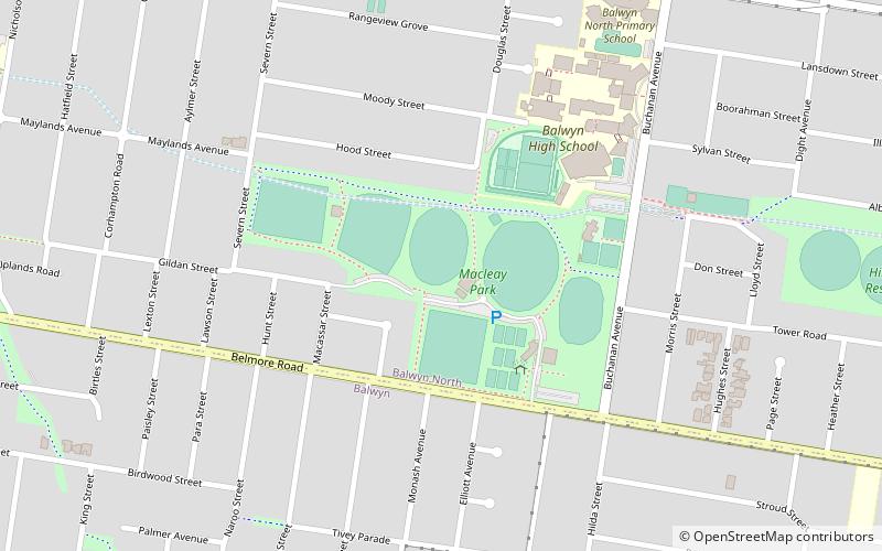
Macleay Park is a park in the suburb of Balwyn North, Melbourne, Victoria, Australia. The western half of the park is also referred to as Myrtle Park. It is situated between Severn St and Buchanan Avenue in a portion of a valley through which the Glass Creek runs, now largely through underground drains. ()
Opened: 1923 (103 years ago)Elevation: 128 ft a.s.l.Coordinates: 37°48'1"S, 145°4'23"E
Address
Boroondara (Balwyn North)Melbourne
ContactAdd
Social media
Add
Day trips
Macleay Park – popular in the area (distance from the attraction)
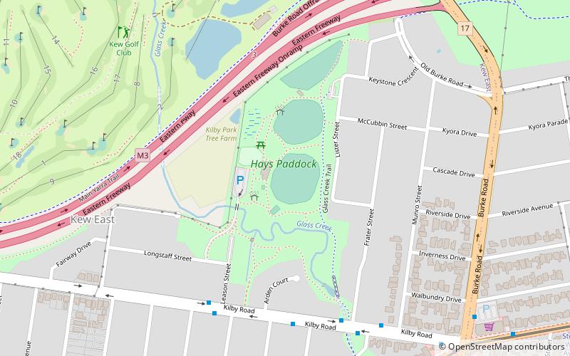
Nearby attractions include: Hays Paddock, Maranoa Gardens, Greythorn Park, Melbourne/Boroondara.
Frequently Asked Questions (FAQ)
Which popular attractions are close to Macleay Park?
Nearby attractions include Hislop Park, Melbourne (12 min walk), Gordon Barnard Reserve, Melbourne (19 min walk).
How to get to Macleay Park by public transport?
The nearest stations to Macleay Park:
Tram
Bus
Tram
- Stop 48: Osburn Avenue • Lines: 48, 48d (13 min walk)
- Stop 48: Sunburst Avenue • Lines: 48 (13 min walk)
Bus
- Marwal Avenue • Lines: 207 (14 min walk)
- Buchanan Avenue • Lines: 207 (14 min walk)

 Melbourne Trams
 Victoria Trains


