SHAC Community, Melbourne
Map
Facts and practical information
The St Hilary's Anglican Network is the collection of St Hilary's Anglican Church, St Silas Anglican Church and St Augustine's Anglican Church, also known previously as the SHAC Community. It is one of Australia's largest Anglican parishes. ()
Coordinates: 37°48'41"S, 145°3'9"E
Address
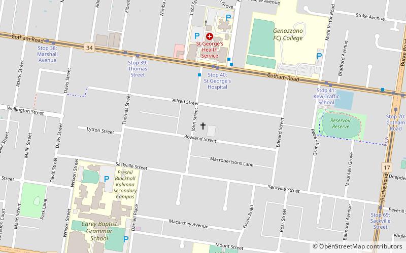
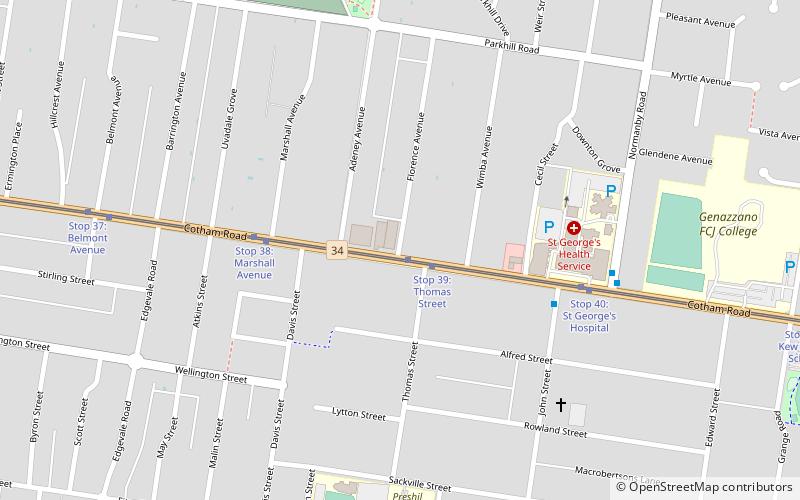
Boroondara (Kew)Melbourne
ContactAdd
Social media
Add
Getting there by public transportation
Public transportation stops near this location
- Bus
- Tram
- Train
 Bus
Bus
- Calculate routeCotham Road 4 min walk
- Calculate routeEast Kew Junction 22 min walk
- Calculate routeAuburn Station/Auburn Rd 23 min walk
- Calculate routeTrinity Grammar School/Charles Street 25 min walk
- Calculate routeStop 40: St George's Hospital 4 min walk
- Calculate routeStop 39: Thomas Street 6 min walk
- Calculate routeStop 41: Kew Traffic School 8 min walk
- Calculate routeStop 38: Marshall Avenue 11 min walk
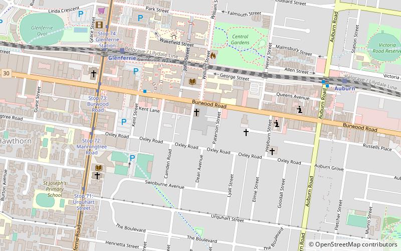
- Calculate routeAuburn 22 min walk
- Calculate routeCamberwell 29 min walk
- Calculate routeGlenferrie 29 min walk
- Calculate routeEast Camberwell 34 min walk
Maps Melbourne TramsMaps
 Victoria Trains
Melbourne TramsMapsVictoria TrainsDay trips


Frequently Asked Questions (FAQ)
Which popular attractions are close to SHAC Community?
Nearby attractions include Lyon Housemuseum, Melbourne (7 min walk), Boroondara General Cemetery, Melbourne (19 min walk), Frognall, Melbourne (19 min walk), Springthorpe Memorial, Melbourne (21 min walk).
How to get to SHAC Community by public transport?
The nearest stations to SHAC Community:
Bus
Tram
Train
Bus
- Cotham Road • Lines: 624 (4 min walk)
- East Kew Junction • Lines: 624 (22 min walk)
Tram
- Stop 40: St George's Hospital • Lines: 109, 109d (4 min walk)
- Stop 39: Thomas Street • Lines: 109, 109d (6 min walk)
Train
- Auburn (22 min walk)
- Camberwell (29 min walk)