Melbourne/Boroondara, Melbourne

Gallery (1)
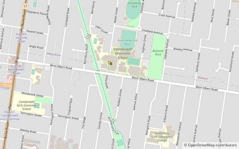
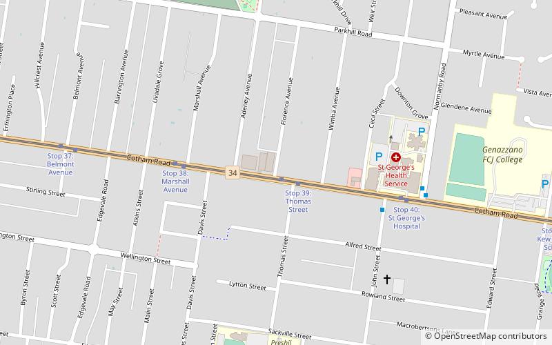
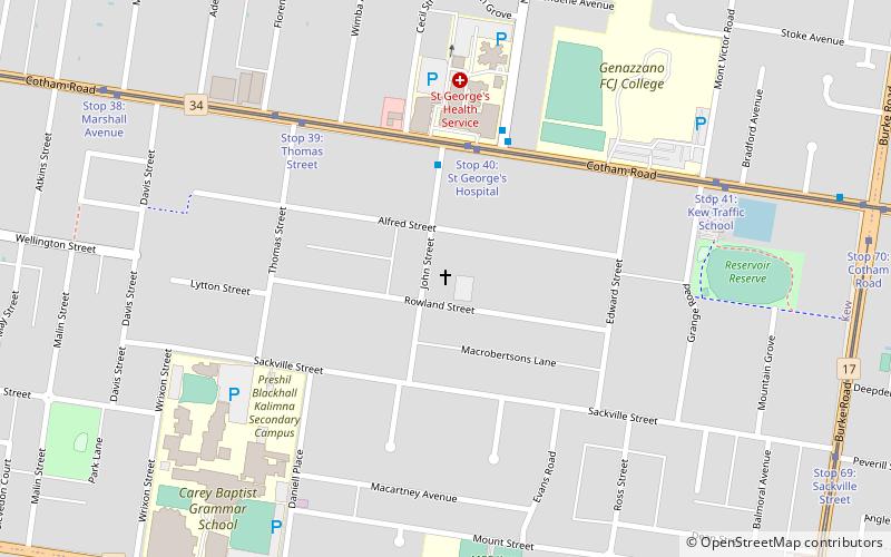
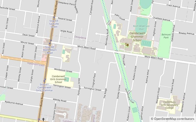
Map
Map
Facts and practical information
The City of Boroondara is a local government area in Victoria, Australia. It is located in the eastern suburbs of Melbourne. It was formed in June 1994 from the amalgamation of the Cities of Kew, Camberwell and Hawthorn. ()
Getting there by public transportation
Public transportation stops near this location
- Bus
- Tram
- Train
 Bus
Bus
- Calculate routeStop 44: Deepdene Park 10 min walk
- Calculate routeStop 68: Mont Albert Road 11 min walk
- Calculate routeStop 43: Deepdene Shopping Centre 11 min walk
- Calculate routeStop 69: Peverill Street 11 min walk
- Calculate routeEast Camberwell 16 min walk
- Calculate routeCamberwell 21 min walk
- Calculate routeCanterbury 24 min walk
- Calculate routeRiversdale 27 min walk
- Calculate routeCotham Road 24 min walk
Maps Melbourne TramsMaps
 Victoria Trains
Melbourne TramsMapsVictoria TrainsDay trips


Frequently Asked Questions (FAQ)
Which popular attractions are close to Melbourne/Boroondara?
Nearby attractions include Frognall, Melbourne (5 min walk), SHAC Community, Melbourne (23 min walk).
How to get to Melbourne/Boroondara by public transport?
The nearest stations to Melbourne/Boroondara:
Tram
Train
Bus
Tram
- Stop 44: Deepdene Park • Lines: 109, 109d (10 min walk)
- Stop 68: Mont Albert Road • Lines: 72, 72d (11 min walk)
Train
- East Camberwell (16 min walk)
- Camberwell (21 min walk)
Bus
- Cotham Road • Lines: 624 (24 min walk)