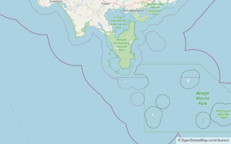
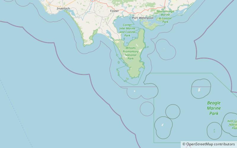
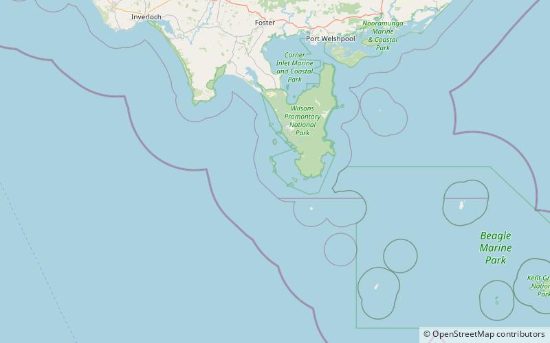
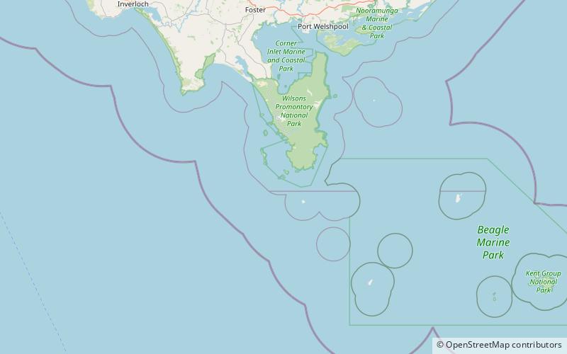
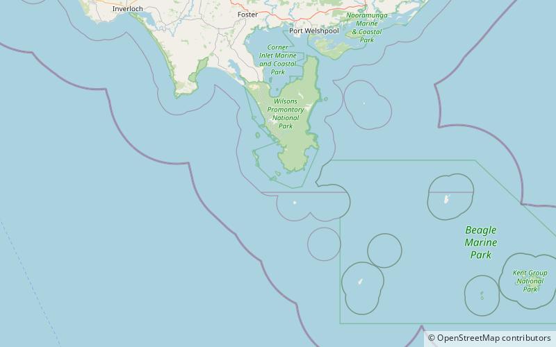
Citadel Island Lighthouse, Wilsons Promontory
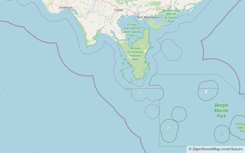
Map
Facts and practical information
Citadel Island Lighthouse was built in 1913. In 1982, it was replaced by a GRP cabinet while the light was converted to solar power. The old lantern was dismantled in 1992 and removed to Port Albert, where it was restored for display at the Port Albert Maritime Museum in 2004. ()
Coordinates: 39°6'54"S, 146°14'13"E
Address
Wilsons Promontory
ContactAdd
Social media
Add
Day trips

Frequently Asked Questions (FAQ)
Which popular attractions are close to Citadel Island Lighthouse?
Nearby attractions include Citadel Island, Wilsons Promontory (2 min walk), McHugh Island, Wilsons Promontory National Park (7 min walk), Dannevig Island, Wilsons Promontory National Park (17 min walk).