McHugh Island, Wilsons Promontory National Park
Map
Facts and practical information
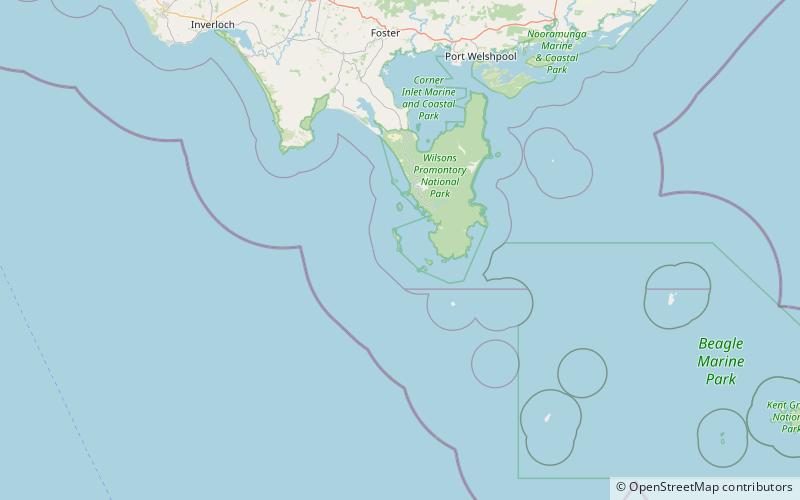
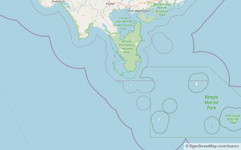
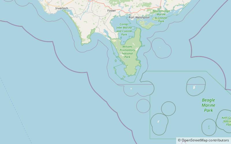
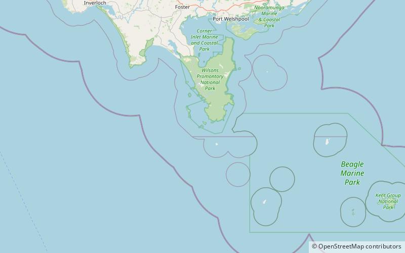
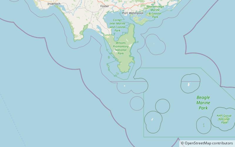
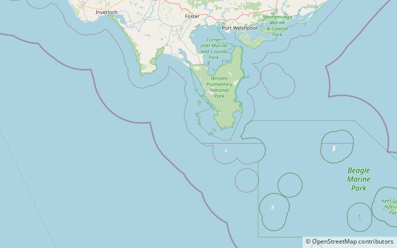
McHugh Island is a small, rugged, granite island in the Glennie group of islands off the west coast of Wilsons Promontory, Victoria, Australia. It is part of the Wilsons Promontory Islands Important Bird Area, identified as such by BirdLife International because of its importance for breeding seabirds. ()
Coordinates: 39°6'55"S, 146°14'31"E
Address
Wilsons Promontory National Park
ContactAdd
Social media
Add
Day trips

Frequently Asked Questions (FAQ)
Which popular attractions are close to McHugh Island?
Nearby attractions include Citadel Island, Wilsons Promontory (6 min walk), Citadel Island Lighthouse, Wilsons Promontory (7 min walk), Dannevig Island, Wilsons Promontory National Park (18 min walk).