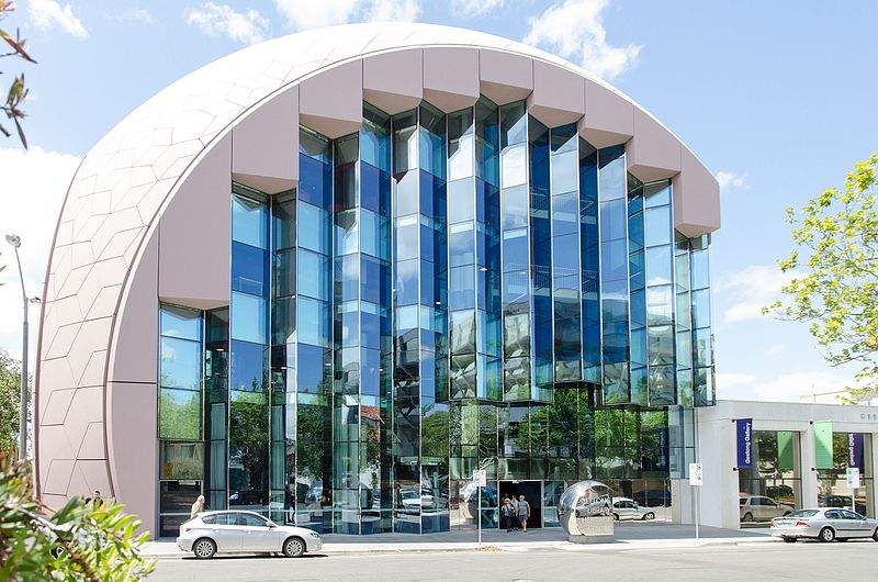
Geelong Library and Heritage Centre, Geelong

Gallery (2)
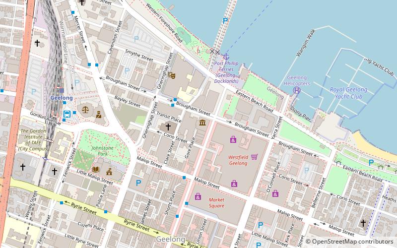
Map
Map
Gallery
Facts and practical information
The Geelong Library and Heritage Centre is a regional library, archive and resource facility in the city of Geelong, Victoria, Australia. Geelong Free Library was begun in 1858. The Geelong Historical Records Centre was established in 1979 as a depository for significant historical records and archives from the district. The centre is a Place of Deposit, as part of the Public Record Office Victoria network of community archives designated for the preservation of Victoria's history. It is described as ...the largest regional archive in Victoria. ()
Coordinates: 38°8'43"S, 144°21'40"E
Address
Geelong
ContactAdd
Social media
Add
Getting there by public transportation
Public transportation stops near this location
- Bus
- Train
 Bus
Bus
- Calculate routeDeakin University City Campus/Brougham Street 2 min walk
- Calculate routeMoorabool St/Malop St 4 min walk
- Calculate routeMoorabool Street Bus Interchange 6 min walk
- Calculate routeCavendish St/Mercer St 8 min walk
- Calculate routeGeelong 9 min walk
- Calculate routeSouth Geelong 24 min walk
Day trips


Frequently Asked Questions (FAQ)
Which popular attractions are close to Geelong Library and Heritage Centre?
Nearby attractions include National Wool Museum, Geelong (1 min walk), Customs House, Geelong (2 min walk), Ford Discovery Centre, Geelong (4 min walk), Geelong Waterfront, Geelong (4 min walk).
How to get to Geelong Library and Heritage Centre by public transport?
The nearest stations to Geelong Library and Heritage Centre:
Bus
Train
Bus
- Deakin University City Campus/Brougham Street • Lines: 1 (2 min walk)
- Moorabool St/Malop St • Lines: 19, 5048 (4 min walk)
Train
- Geelong (9 min walk)
- South Geelong (24 min walk)