Westgarth, Melbourne

Gallery (3)
Map
Map
Gallery
Facts and practical information
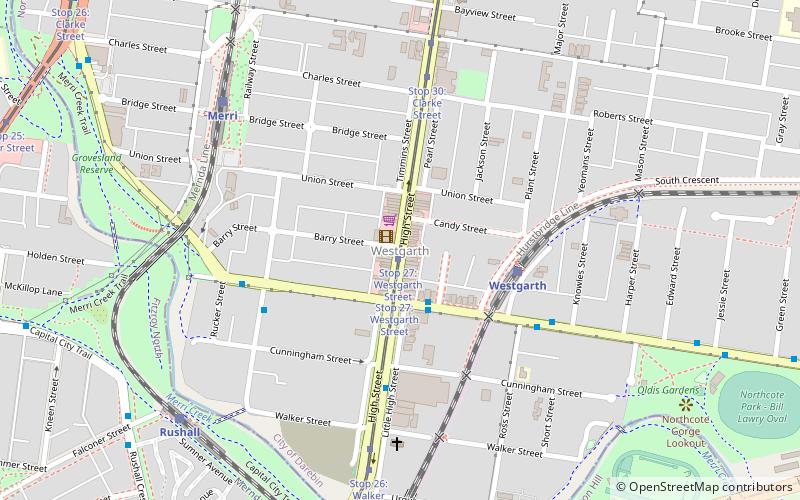
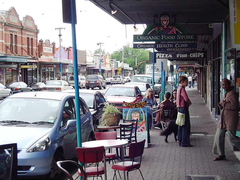
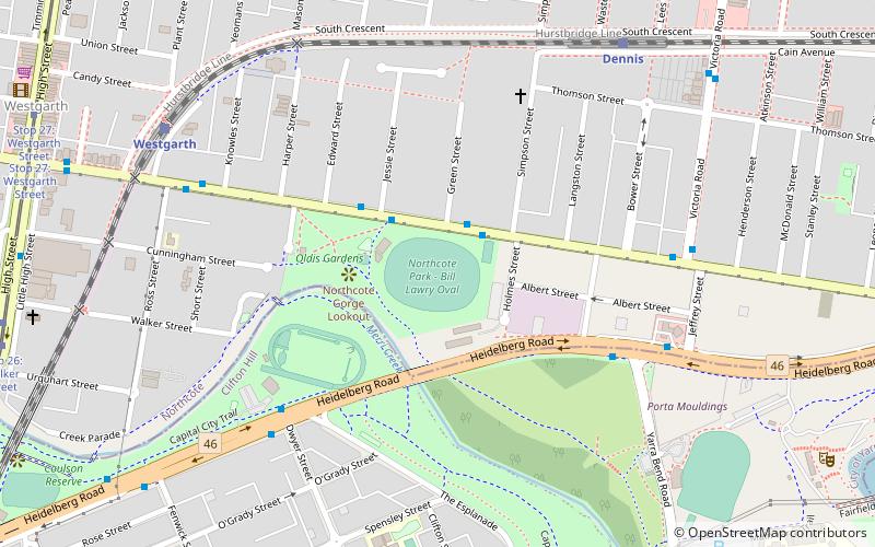
Westgarth is a neighbourhood within the suburb of Northcote, about 4 or 5 km north-east of Melbourne's central business district in Victoria, Australia. It is in the local government area of the City of Darebin. The neighbourhood has a commercial centre, distinct from the main commercial centre of Northcote, located near Westgarth railway station, just north of Clifton Hill. While Westgarth does not have any official borders, it is generally considered to extend from Merri Creek in the west to the boundary of Fairfield in the east. ()
Coordinates: 37°46'49"S, 144°59'49"E
Address
Darebin (Northcote)Melbourne
ContactAdd
Social media
Add
Getting there by public transportation
Public transportation stops near this location
- Bus
- Tram
- Train
 Bus
Bus
- Calculate routeStop 27: Westgarth Street 1 min walk
- Calculate routeStop 30: Clarke Street 6 min walk
- Calculate routeStop 26: Walker Street 7 min walk
- Calculate routeStop 31: Northcote Town Hall 10 min walk
- Calculate routeWestgarth Street/High Street 2 min walk
- Calculate routeHigh Street/Westgarth Street 2 min walk
- Calculate routeCunningham Street/High Street 5 min walk
- Calculate routeWestgarth 4 min walk
- Calculate routeMerri 7 min walk
- Calculate routeRushall 9 min walk
- Calculate routeClifton Hill 16 min walk
Maps Melbourne TramsMaps
 Victoria Trains
Melbourne TramsMapsVictoria TrainsDay trips


Frequently Asked Questions (FAQ)
Which popular attractions are close to Westgarth?
Nearby attractions include Rushall Garden, Melbourne (10 min walk), Northcote Town Hall, Melbourne (11 min walk), Northcote, Melbourne (15 min walk), Red Gallery, Melbourne (23 min walk).
How to get to Westgarth by public transport?
The nearest stations to Westgarth:
Tram
Bus
Train
Tram
- Stop 27: Westgarth Street • Lines: 86, 86d (1 min walk)
- Stop 30: Clarke Street • Lines: 86, 86d (6 min walk)
Bus
- Westgarth Street/High Street • Lines: 506 (2 min walk)
- High Street/Westgarth Street • Lines: 250, 251 (2 min walk)
Train
- Westgarth (4 min walk)
- Merri (7 min walk)