Flinders Lane, Melbourne

Gallery (3)
Map
Map
Gallery
Facts and practical information
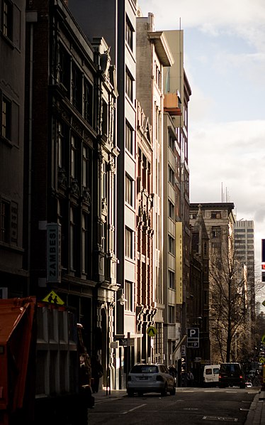
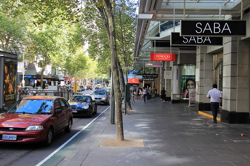
Flinders Lane is a minor street and thoroughfare in the central business district of Melbourne, Victoria, Australia. The laneway runs east–west from Spring Street to Spencer Street in-between Flinders and Collins Streets. Originally laid out as part of the Hoddle Grid in 1837, the laneway was once the centre of Melbourne's rag trade and is still home to boutique designers and high-end retailers including Chanel, now perched alongside numerous hotels, loft apartments, cafes and bars. ()
Coordinates: 37°49'6"S, 144°57'58"E
Address
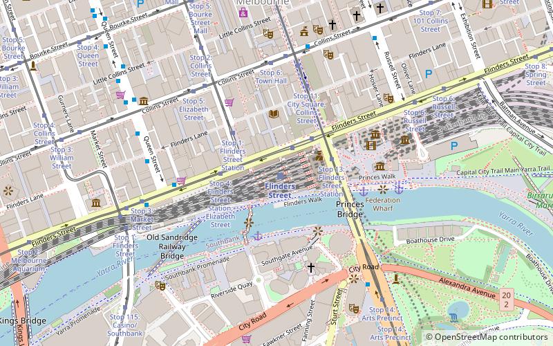
Flinders Street Railway StationCity of Melbourne (Melbourne CBD)Melbourne
Contact
Social media
Add
Getting there by public transportation
Public transportation stops near this location
- Bus
- Tram
- Train
- Ferry
 Bus
Bus
- Calculate routeStop 5: Flinders Street Station, Swanston Street 2 min walk
- Calculate routeStop 4: Flinders Street Station, Elizabeth Street 3 min walk
- Calculate routeStop 13: Federation Square 3 min walk
- Calculate routeStop 1: Flinders Street Station 3 min walk
- Calculate routeFlinders Street 2 min walk
- Calculate routeMelbourne Central 16 min walk
- Calculate routeParliament 17 min walk
- Calculate routeFlagstaff 19 min walk
- Calculate routeBanana Alley Vaults/Flinders Street 6 min walk
- Calculate routeFlinders Lane/Queen Street 6 min walk
- Calculate routeMarket Street/Flinders Street 6 min walk
- Calculate routeArts Centre 7 min walk
- Calculate routePort Phillip Ferries 30 min walk
Maps Melbourne TramsMaps
 Victoria Trains
Melbourne TramsMapsVictoria TrainsDay trips


Frequently Asked Questions (FAQ)
Which popular attractions are close to Flinders Lane?
Nearby attractions include Degraves Street, Melbourne (2 min walk), Port Phillip Arcade, Melbourne (3 min walk), Flinders Street, Melbourne (3 min walk), Nicholas Building, Melbourne (4 min walk).
How to get to Flinders Lane by public transport?
The nearest stations to Flinders Lane:
Tram
Train
Bus
Ferry
Tram
- Stop 5: Flinders Street Station, Swanston Street • Lines: 35, 70, 70d, 75 (2 min walk)
- Stop 4: Flinders Street Station, Elizabeth Street • Lines: 35, 70, 70d, 75 (3 min walk)
Train
- Flinders Street (2 min walk)
- Melbourne Central (16 min walk)
Bus
- Banana Alley Vaults/Flinders Street • Lines: 234, 236, 605 (6 min walk)
- Flinders Lane/Queen Street • Lines: 216, 220, 234, 236, 605 (6 min walk)
Ferry
- Port Phillip Ferries (30 min walk)