Flinders Street, Melbourne

Gallery (2)
Map
Map
Gallery
Facts and practical information
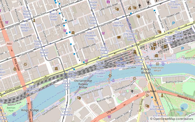
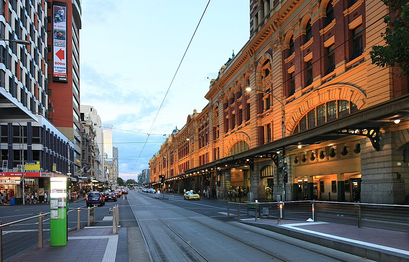
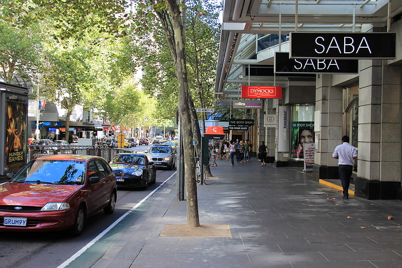
Flinders Street is a street in Melbourne, Victoria, Australia. Running roughly parallel to the Yarra River, Flinders Street forms the southern edge of the Hoddle Grid. It is exactly 1 mi in length and one and a half chains in width. It is named for the explorer Matthew Flinders, erroneously credited with discovering Port Phillip at the time of its naming. It extends eastwards as far as Spring Street and the Treasury Gardens and westwards past Batman's Hill to the Melbourne Docklands. As the closest street to the river, Flinders Street serviced Melbourne's original river port. Customs House, now the site for Victoria's Immigration Museum, is on Flinders Street. ()
Coordinates: 37°49'7"S, 144°57'50"E
Address
City of Melbourne (Melbourne CBD)Melbourne
ContactAdd
Social media
Add
Getting there by public transportation
Public transportation stops near this location
- Bus
- Tram
- Train
- Ferry
 Bus
Bus
- Calculate routeStop 4: Flinders Street Station, Elizabeth Street 1 min walk
- Calculate routeStop 1: Flinders Street Station 3 min walk
- Calculate routeStop 3: Market Street 4 min walk
- Calculate routeStop 5: Elizabeth Street 5 min walk
- Calculate routeBanana Alley Vaults/Flinders Street 4 min walk
- Calculate routeMarket Street/Flinders Street 4 min walk
- Calculate routeFlinders Lane/Queen Street 4 min walk
- Calculate routeFlinders Street/Queens Bridge Street 5 min walk
- Calculate routeFlinders Street 5 min walk
- Calculate routeMelbourne Central 16 min walk
- Calculate routeSouthern Cross 17 min walk
- Calculate routeFlagstaff 17 min walk
- Calculate routePort Phillip Ferries 27 min walk
Maps Melbourne TramsMaps
 Victoria Trains
Melbourne TramsMapsVictoria TrainsDay trips


Frequently Asked Questions (FAQ)
Which popular attractions are close to Flinders Street?
Nearby attractions include Collins Street, Melbourne (3 min walk), Flinders Lane, Melbourne (3 min walk), Museum of Modern Art Australia, Melbourne (3 min walk), Degraves Street, Melbourne (4 min walk).
How to get to Flinders Street by public transport?
The nearest stations to Flinders Street:
Tram
Bus
Train
Ferry
Tram
- Stop 4: Flinders Street Station, Elizabeth Street • Lines: 35, 70, 70d, 75 (1 min walk)
- Stop 1: Flinders Street Station • Lines: 19, 57, 59, 59d (3 min walk)
Bus
- Banana Alley Vaults/Flinders Street • Lines: 234, 236, 605 (4 min walk)
- Market Street/Flinders Street • Lines: 605 (4 min walk)
Train
- Flinders Street (5 min walk)
- Melbourne Central (16 min walk)
Ferry
- Port Phillip Ferries (27 min walk)