Birchgrove Park, Sydney
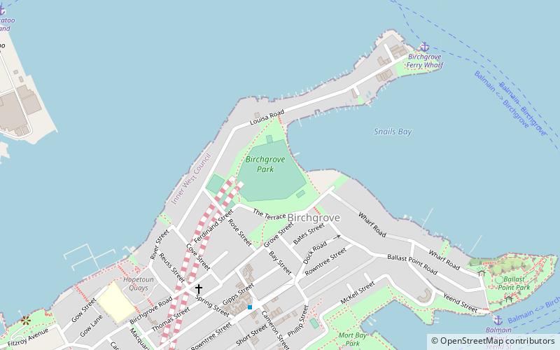
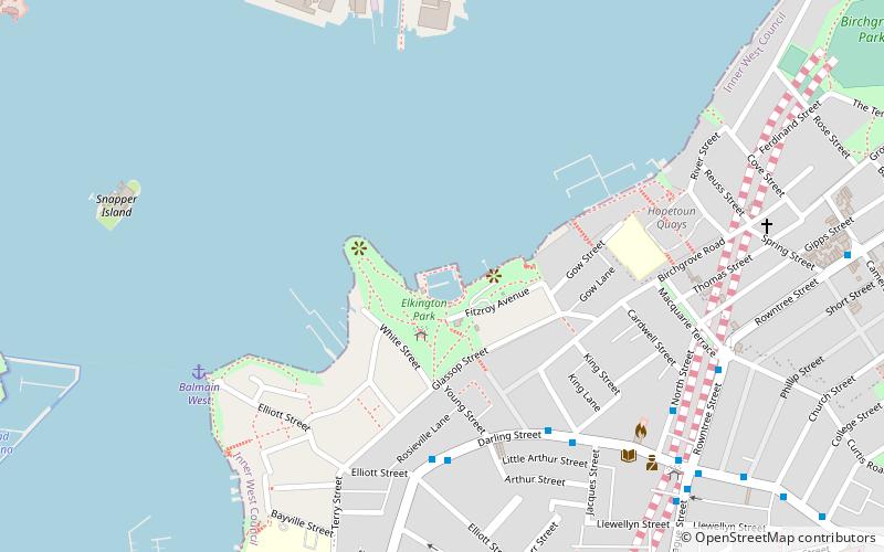
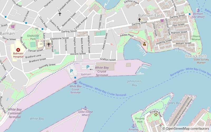
Map

Map

Facts and practical information
Birchgrove Park is an urban park and sports ground located in Birchgrove, Inner West Council, Sydney, New South Wales, Australia, on the waterfront of Sydney Harbour. It is also the location of Birchgrove Oval, the headquarters of the Sydney Cricket Club from 1897 to 1947 and a historic rugby league football ground which served as the original home of the Balmain Tigers club. ()
Created: 1881Elevation: 23 ft a.s.l.Coordinates: 33°50'59"S, 151°10'55"E
Day trips
Birchgrove Park – popular in the area (distance from the attraction)
Nearby attractions include: Birkenhead Point Outlet Centre, Iloura Reserve, Ewenton, Kellys Bush Park.
Frequently Asked Questions (FAQ)
Which popular attractions are close to Birchgrove Park?
Nearby attractions include Yurulbin Park, Sydney (8 min walk), Ballast Point, Sydney (14 min walk), Cockatoo Island Industrial Conservation Area, Sydney (15 min walk), Biloela House, Sydney (15 min walk).
How to get to Birchgrove Park by public transport?
The nearest stations to Birchgrove Park:
Ferry
Bus
Train
Ferry
- Birchgrove • Lines: F3 (9 min walk)
- Balmain (11 min walk)
Bus
- Darling St at Phillip St • Lines: 433 (13 min walk)
Train
- Waverton (31 min walk)

 Sydney Trains
 Sydney Light Rail
 Sydney Ferries


