Yurulbin Park, Sydney
Map

Gallery

Facts and practical information
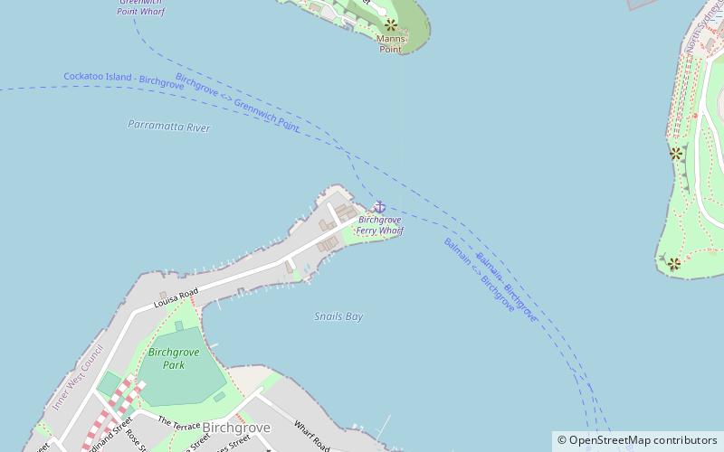
Yurulbin Park is a 0.61-hectare public open space located at the end of Yurulbin Point on the Balmain Peninsula in the suburb of Birchgrove in the Inner West Council local government area in Sydney, New South Wales, Australia. ()
Elevation: 36 ft a.s.l.Coordinates: 33°50'48"S, 151°11'10"E
Day trips
Yurulbin Park – popular in the area (distance from the attraction)
Nearby attractions include: Iloura Reserve, Ewenton, Lord Nelson Brewery Hotel, Balls Head Reserve.
Frequently Asked Questions (FAQ)
Which popular attractions are close to Yurulbin Park?
Nearby attractions include Birchgrove Park, Sydney (8 min walk), MV Cape Don, Sydney (12 min walk), Ballast Point, Sydney (12 min walk), Balls Head Reserve, Sydney (14 min walk).
How to get to Yurulbin Park by public transport?
The nearest stations to Yurulbin Park:
Ferry
Bus
Train
Ferry
- Birchgrove • Lines: F3 (1 min walk)
- Greenwich Point Wharf • Lines: F3 (12 min walk)
Bus
- Darling St at Ford St • Lines: 433 (20 min walk)
Train
- Waverton (23 min walk)
- Wollstonecraft (28 min walk)

 Sydney Trains
 Sydney Light Rail
 Sydney Ferries


