Melbourne/Sunshine and Melton, Melbourne
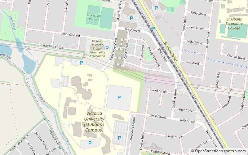
Map
Facts and practical information
Getting there by public transportation
Public transportation stops near this location
- Bus
- Train
 Bus
Bus
- Calculate routeSt Albans Station 9 min walk
- Calculate routeSt Albans 10 min walk
- Calculate routeGinifer 24 min walk
Maps Melbourne TramsMaps
 Victoria Trains
Melbourne TramsMapsVictoria TrainsDay trips


Frequently Asked Questions (FAQ)
How to get to Melbourne/Sunshine and Melton by public transport?
The nearest stations to Melbourne/Sunshine and Melton:
Bus
Train
Bus
- St Albans Station • Lines: 408, 418, 419, 421, 425 (9 min walk)
Train
- St Albans (10 min walk)
- Ginifer (24 min walk)