Albion Viaduct, Melbourne

Gallery (1)
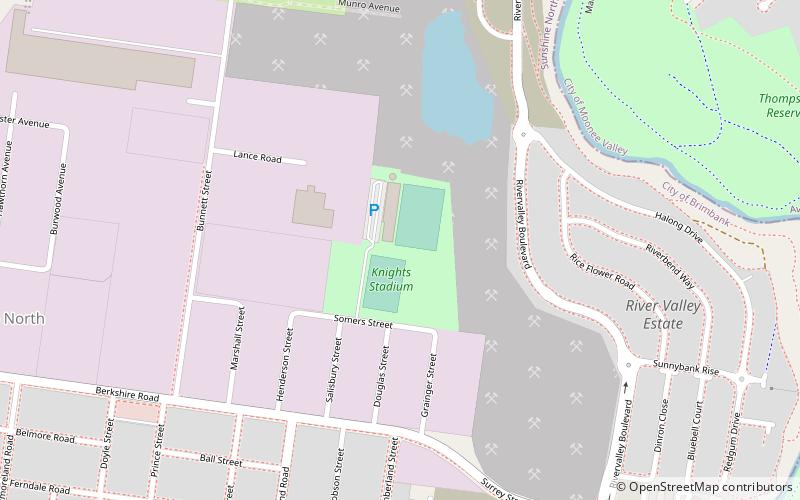
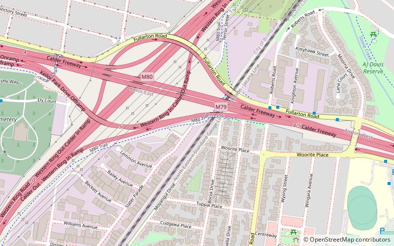
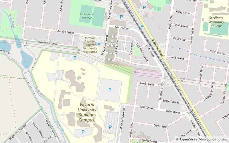
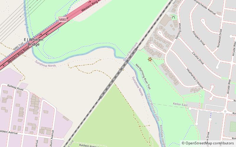
Map
Map
Facts and practical information
Coordinates: 37°44'53"S, 144°50'44"E
Address
Brimbank (Sunshine North)Melbourne
ContactAdd
Social media
Add
Albion Viaduct Public Transportation
Maps Melbourne TramsMaps
 Victoria Trains
Melbourne TramsMapsVictoria TrainsDay trips