Forrestfield, Perth
Map
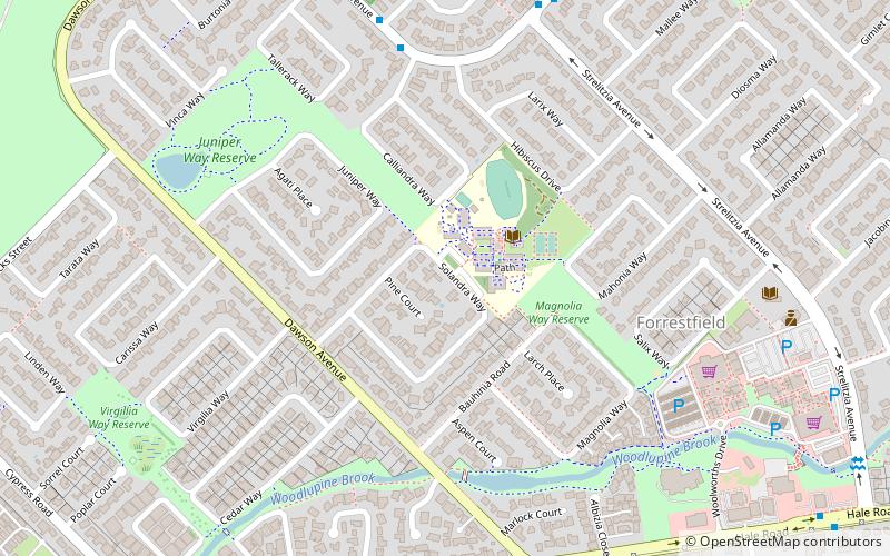
Map

Facts and practical information
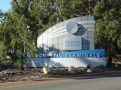
Forrestfield is a suburb of the City of Kalamunda in Western Australia. It lies 15 kilometres to the south-east of Perth at the base of the Darling Scarp and the southern border of Perth Airport. ()
Coordinates: 31°59'6"S, 116°0'11"E
Address
Perth
ContactAdd
Social media
Add
Day trips
Forrestfield – popular in the area (distance from the attraction)
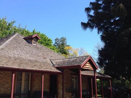
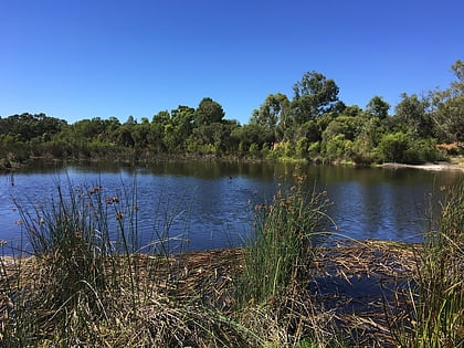
Nearby attractions include: Westfield Carousel, Woodloes Homestead, Lesmurdie Falls, Eric Singleton Bird Sanctuary.
Frequently Asked Questions (FAQ)
How to get to Forrestfield by public transport?
The nearest stations to Forrestfield:
Bus
Bus
- Strelitzia Av After Mallee Wy • Lines: 288 (8 min walk)
- Hale Rd Before Dawson Av • Lines: 281, 288 (9 min walk)


