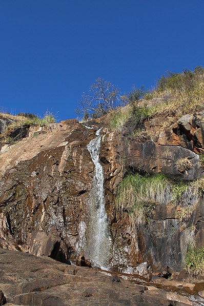
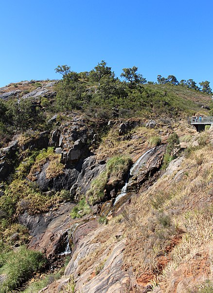
Lesmurdie Falls, Perth

Gallery (5)
Map

Map

Gallery
Facts and practical information
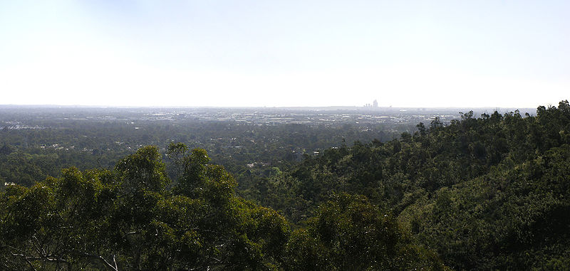
The Mundy Regional Park is a regional park located on the western edge of the Darling Scarp, approximately 22 kilometres east of Perth in Western Australia. The 56-hectare park has commanding views of the Swan Coastal Plain, the city of Perth and surrounding suburbs. The park is managed by the Department of Biodiversity, Conservation and Attractions. ()
Getting there by public transportation
Public transportation stops near this location
- Bus
 Bus
Bus
- Calculate routeAnderson Rd Before Annato Pl 23 min walk
- Calculate routeLewis Rd After Jubilee Rd 24 min walk
Day trips


Frequently Asked Questions (FAQ)
How to get to Lesmurdie Falls by public transport?
The nearest stations to Lesmurdie Falls:
Bus
Bus
- Anderson Rd Before Annato Pl • Lines: 288 (23 min walk)
- Lewis Rd After Jubilee Rd • Lines: 288 (24 min walk)