Canning River Regional Park, Perth
Map
Map

Facts and practical information
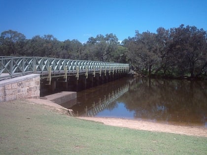
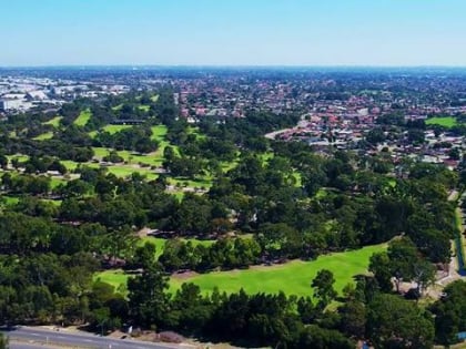
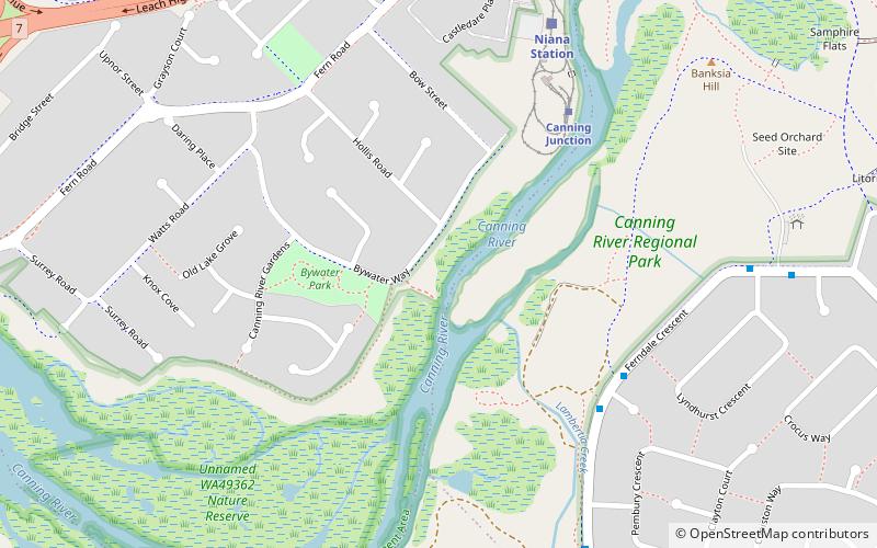
The Canning River Regional Park is the largest of eight regional parks within the Perth metropolitan area. The park covers approximately 6 km on both sides of the Canning River between the bridges carrying Nicholson Road and Leach Highway over the Canning River. Canning River is a major tributary of the Swan River in south western Western Australia. ()
Elevation: 16 ft a.s.l.Coordinates: 32°1'38"S, 115°54'47"E
Day trips
Canning River Regional Park – popular in the area (distance from the attraction)
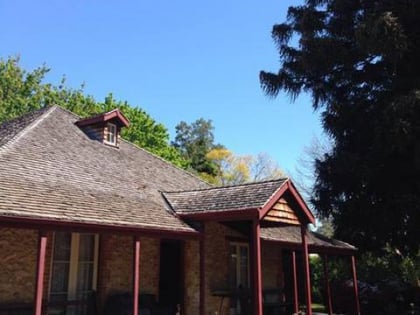
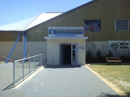
Nearby attractions include: Westfield Carousel, Woodloes Homestead, Aviation Heritage Museum, Australian Sikh Heritage Trail.
Frequently Asked Questions (FAQ)
How to get to Canning River Regional Park by public transport?
The nearest stations to Canning River Regional Park:
Train
Train
- Canning Junction (7 min walk)
- Niana Station (8 min walk)
