Kenwick Pioneer Cemetery, Perth
Map
Map

Facts and practical information
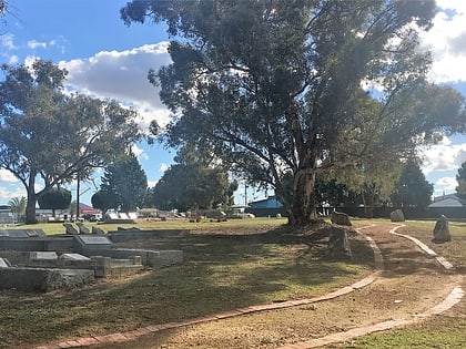
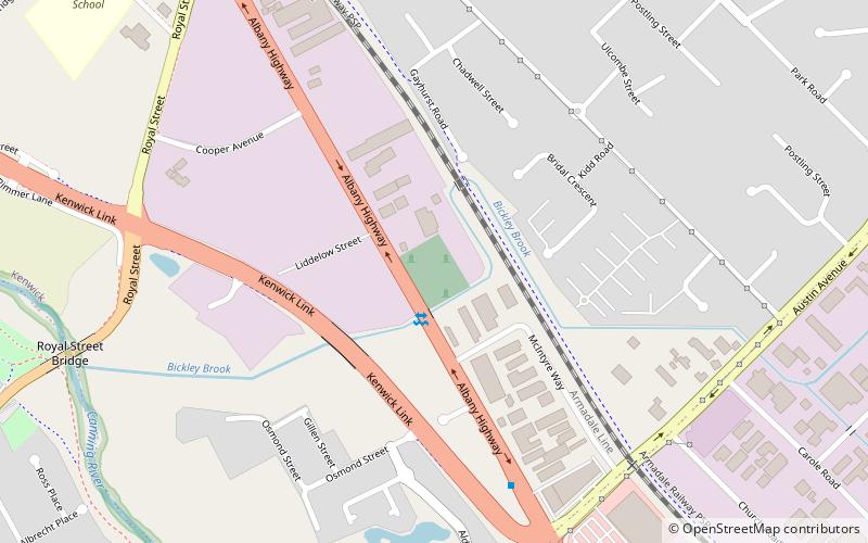
Kenwick Pioneer Cemetery is located in Kenwick, Western Australia adjacent to Albany Highway. It is part of the 1.2 hectares of land donated by Wallace Bickley for a school for the children of the Canning in 1863. ()
Established: 1866 (160 years ago)Coordinates: 32°2'32"S, 115°58'23"E
Address
Perth
ContactAdd
Social media
Add
Day trips
Kenwick Pioneer Cemetery – popular in the area (distance from the attraction)
Nearby attractions include: Westfield Carousel, Woodloes Homestead, Lesmurdie Falls, Australian Sikh Heritage Trail.
Frequently Asked Questions (FAQ)
How to get to Kenwick Pioneer Cemetery by public transport?
The nearest stations to Kenwick Pioneer Cemetery:
Train
Bus
Train
- Kenwick (12 min walk)
- Maddington (20 min walk)
Bus
- Spencer Road before Hughenden Drive • Lines: 212F, 212Fb (29 min walk)
- Spencer Road after Berehaven Avenue • Lines: 212T, 212Tb (29 min walk)
