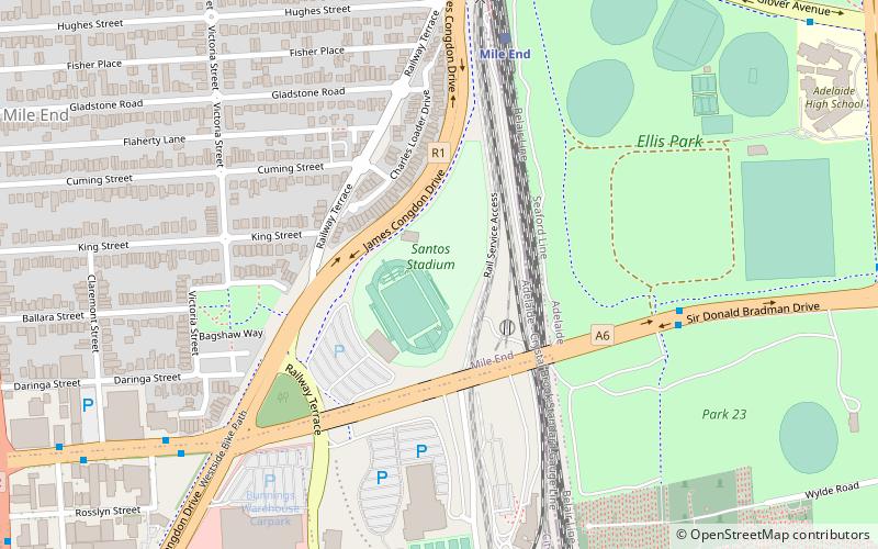
Santos Stadium, Adelaide
Map
Facts and practical information
SA Athletics Stadium is a comprehensive, modern athletics facility. Located only a few minutes drive from the Adelaide CBD, the athletics facility offers a national standard nine lane running track and field complex including training and warm-up areas, lighting, photo finish and modern timing equipment. The infield converts to a FIFA regulation sized quality turf pitch for soccer and other turf related sports. The stadium was formerly known as Santos Stadium under a sponsorship arrangement with Santos Limited. ()
Opened: 26 January 1998 (28 years ago)Capacity: 1200Coordinates: 34°55'44"S, 138°34'44"E
Getting there by public transportation
Public transportation stops near this location
- Bus
- Tram
- Train
 Bus
Bus
- Calculate routeMile End 7 min walk
- Calculate routeAdelaide Parklands Terminal 16 min walk
- Calculate routeAdelaide Showground 28 min walk
- Calculate routeAdelaide 30 min walk
- Calculate routeRoyal Adelaide Hospital 18 min walk
- Calculate routeThebarton 20 min walk
- Calculate routeCity West 24 min walk
- Calculate routeBonython Park 29 min walk
- Calculate route85 Franklin Street 24 min walk
- Calculate routeStop D1 Currie Street - North side 25 min walk
- Calculate routeStop W2 Currie Street - South side 25 min walk
- Calculate routeStop U2 Victoria Square - North West side 30 min walk
Day trips


Frequently Asked Questions (FAQ)
Which popular attractions are close to Santos Stadium?
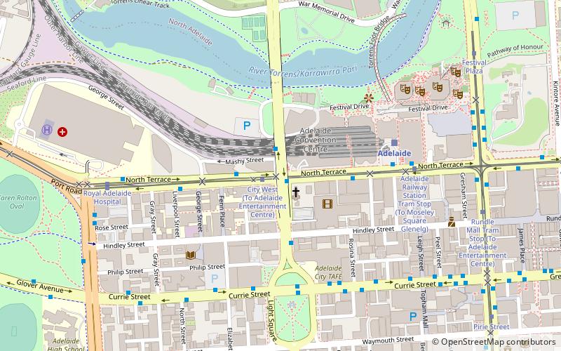
Nearby attractions include West Terrace Cemetery, Adelaide (14 min walk), Wright Street, Adelaide (15 min walk), Currie Street, Adelaide (15 min walk), St Patrick's Church, Adelaide (16 min walk).
How to get to Santos Stadium by public transport?
The nearest stations to Santos Stadium:
Train
Tram
Bus
Train
- Mile End (7 min walk)
- Adelaide Parklands Terminal (16 min walk)
Tram
- Royal Adelaide Hospital (18 min walk)
- Thebarton (20 min walk)
Bus
- 85 Franklin Street • Lines: Adelaide bus station => Albury r, Adelaide bus station => Bendigo, Albury railway station => Adelai, Bendigo railway station => Adela (24 min walk)
- Stop D1 Currie Street - North side • Lines: 830F (25 min walk)