Ashfield Mall, Sydney
Map

Gallery

Facts and practical information
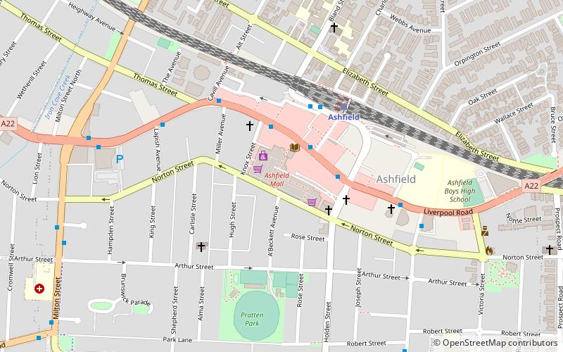
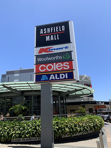
Ashfield Mall is a shopping centre in the suburb of Ashfield in the Inner West of Sydney. ()
Coordinates: 33°53'22"S, 151°7'26"E
Address
260A Liverpool Road, AshfieldInner West (Ashfield)Sydney
Contact
+61 2 9799 8488
Social media
Add
Day trips
Ashfield Mall – popular in the area (distance from the attraction)
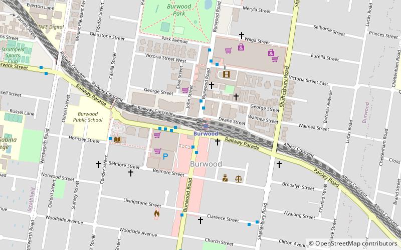
Nearby attractions include: Westfield Burwood, Woodstock, St David's Uniting Church, Burwood rail underbridge.
Frequently Asked Questions (FAQ)
Which popular attractions are close to Ashfield Mall?
Nearby attractions include Ashfield, Sydney (2 min walk), St John's, Sydney (16 min walk), Ashfield Reservoir, Sydney (17 min walk), Summer Hill, Sydney (21 min walk).
How to get to Ashfield Mall by public transport?
The nearest stations to Ashfield Mall:
Bus
Train
Light rail
Bus
- Ashfield Shops • Lines: 418, 466 (3 min walk)
- Brown Street • Lines: 466 (4 min walk)
Train
- Ashfield (5 min walk)
- Croydon (17 min walk)
Light rail
- Waratah Mills • Lines: L1 (29 min walk)
- Lewisham West • Lines: L1 (30 min walk)

 Sydney Trains
 Sydney Light Rail
 Sydney Ferries


