Belmore Park, Sydney
Map
Gallery
Facts and practical information
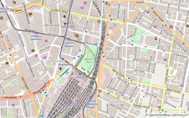
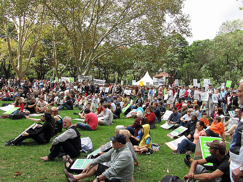
Belmore Park is a public park at the southern end of the Sydney central business district in the Australian state of New South Wales. Adjacent to the Central railway station, the park is bounded by Hay Street, Eddy Avenue, Elizabeth Street and Pitt Street. The area was previously known as Police Paddock and was part of a section of Crown land which included the Police Barracks, Devonshire Street Cemetery, Female Refuge of the Good Samaritan, Benevolent Asylum and a common. ()
Day trips
Belmore Park – popular in the area (distance from the attraction)
Nearby attractions include: Castlereagh Street, World Square, Paddy's Markets, Market City.
Frequently Asked Questions (FAQ)
Which popular attractions are close to Belmore Park?
Nearby attractions include Castlereagh Street, Sydney (2 min walk), New Tivoli Theatre, Sydney (3 min walk), Capitol Theatre, Sydney (5 min walk), Christ Church St Laurence, Sydney (5 min walk).
How to get to Belmore Park by public transport?
The nearest stations to Belmore Park:
Bus
Light rail
Train
Ferry
Bus
- Hay St opp Belmore Park • Lines: 431 (2 min walk)
- Pitt St opp Barlow St • Lines: 431, 433 (3 min walk)
Light rail
- Central • Lines: L1 (3 min walk)
- Haymarket • Lines: L2, L3 (4 min walk)
Train
- Central (7 min walk)
- Museum (10 min walk)
Ferry
- Pyrmont Bay Wharf • Lines: F4, Ferry (27 min walk)
- Darling Harbour Wharf 1 (29 min walk)

 Sydney Trains
 Sydney Light Rail
 Sydney Ferries