Bald Hills, Brisbane

Gallery (1)
Map
Map
Facts and practical information
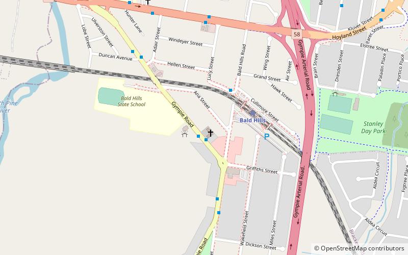
Bald Hills is the northernmost suburb in the City of Brisbane, Queensland, Australia. In the 2016 census Bald Hills had a population of 6,502 people. ()
Address
Bald HillsBrisbane
ContactAdd
Social media
Add
Getting there by public transportation
Public transportation stops near this location
- Bus
- Train
 Bus
Bus
- Calculate routeGympie Rd near Bald Hills Rd 1 min walk
- Calculate routeBald Hills 4 min walk
Day trips


Frequently Asked Questions (FAQ)
How to get to Bald Hills by public transport?
The nearest stations to Bald Hills:
Bus
Train
Bus
- Gympie Rd near Bald Hills Rd • Lines: 680 (1 min walk)
Train
- Bald Hills (4 min walk)