Melbourne Cup, Melbourne
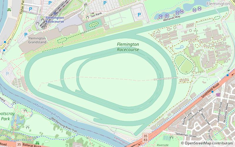
Map
Facts and practical information
The Melbourne Cup is Australia's most famous annual Thoroughbred horse race. It is a 3200-metre race for three-year-olds and over, conducted by the Victoria Racing Club on the Flemington Racecourse in Melbourne, Victoria as part of the Melbourne Spring Racing Carnival. It is the richest "two-mile" handicap in the world and one of the richest turf races. The event starts at 3:00 pm on the first Tuesday of November and is known locally as "the race that stops the nation". ()
Getting there by public transportation
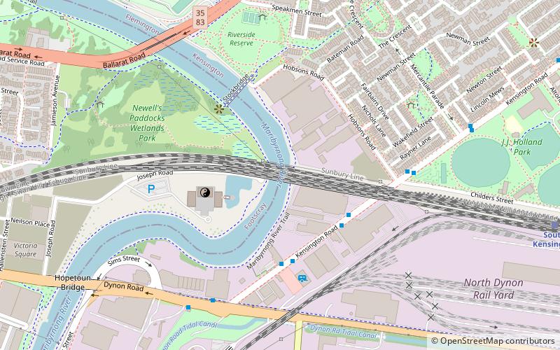
Public transportation stops near this location
- Bus
- Tram
- Train
 Bus
Bus
- Calculate routeFlemington Racecourse 9 min walk
- Calculate routeShowgrounds 14 min walk
- Calculate routeFootscray 24 min walk
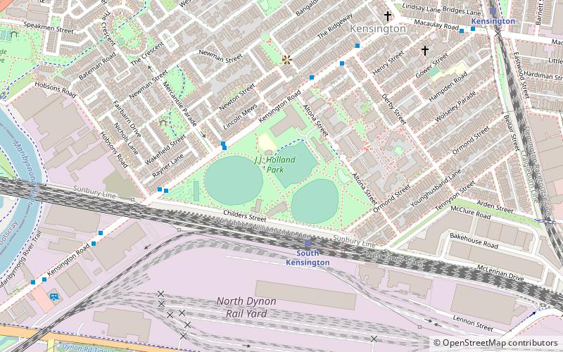
- Calculate routeSouth Kensington 24 min walk
- Calculate routeEpsom Road 14 min walk
- Calculate routeRAS Showgrounds/Langs Rd 16 min walk
- Calculate routeElliott St/Chauvel St 17 min walk
- Calculate routeHobsons Road 18 min walk
- Calculate routeStop 30: Flemington Drive 14 min walk
- Calculate routeStop 31: Racing Victoria 15 min walk
- Calculate routeStop 29: Flemington Racecourse 16 min walk
- Calculate routeStop 32: Sandown Road 16 min walk
Maps Melbourne TramsMaps
 Victoria Trains
Melbourne TramsMapsVictoria TrainsDay trips


Frequently Asked Questions (FAQ)
Which popular attractions are close to Melbourne Cup?
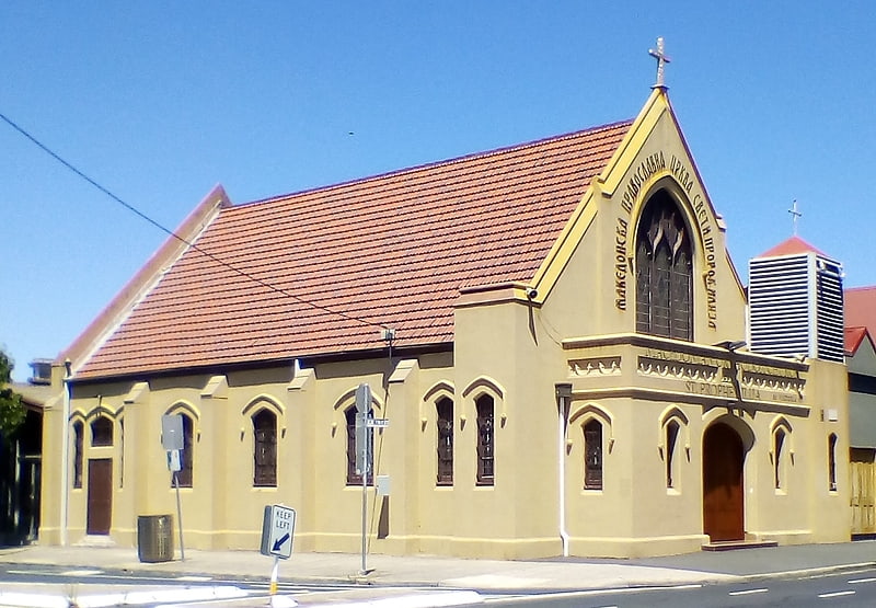
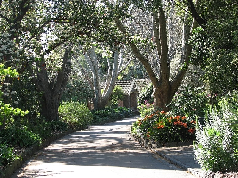
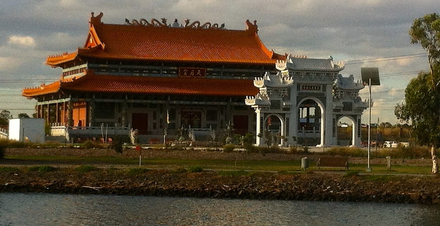
Nearby attractions include Footscray Park, Melbourne (11 min walk), Flemington Post Office, Melbourne (13 min walk), Heavenly Queen Temple, Melbourne (15 min walk), Saltwater River Rail Bridge, Melbourne (15 min walk).
How to get to Melbourne Cup by public transport?
The nearest stations to Melbourne Cup:
Train
Bus
Tram
Train
- Flemington Racecourse (9 min walk)
- Showgrounds (14 min walk)
Bus
- Epsom Road • Lines: 404 (14 min walk)
- RAS Showgrounds/Langs Rd • Lines: 472 (16 min walk)
Tram
- Stop 30: Flemington Drive • Lines: 57, 57a (14 min walk)
- Stop 31: Racing Victoria • Lines: 57, 57a (15 min walk)