MV Cape Don, Sydney
Map
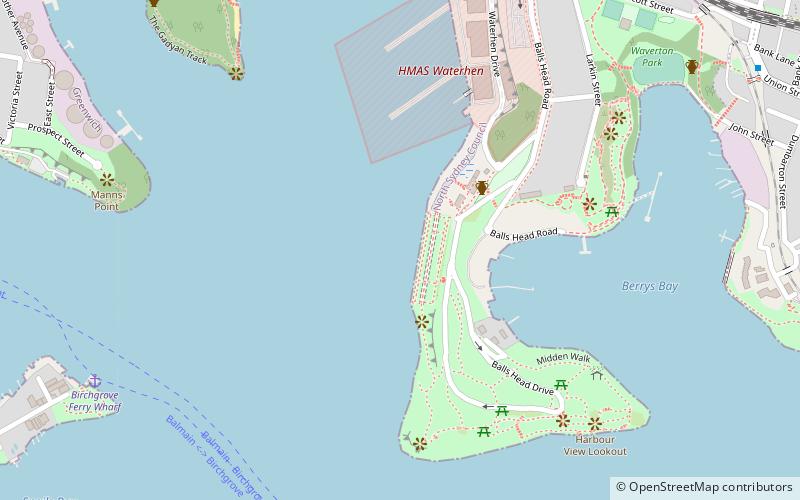
Map

Facts and practical information
MV Cape Don is a former lighthouse tender, now a museum ship and training ship in Waverton, New South Wales, Australia. ()
Coordinates: 33°50'39"S, 151°11'35"E
Day trips
MV Cape Don – popular in the area (distance from the attraction)
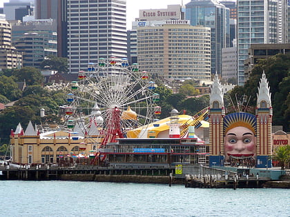
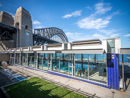
Nearby attractions include: Luna Park, North Sydney Olympic Pool, Iloura Reserve, Don Bank Museum.
Frequently Asked Questions (FAQ)
Which popular attractions are close to MV Cape Don?
Nearby attractions include Balls Head Reserve, Sydney (6 min walk), Yurulbin Park, Sydney (12 min walk), Walsh Bay, Sydney (15 min walk), Ballast Point, Sydney (15 min walk).
How to get to MV Cape Don by public transport?
The nearest stations to MV Cape Don:
Ferry
Train
Bus
Ferry
- Birchgrove • Lines: F3 (11 min walk)
- Greenwich Point Wharf • Lines: F3 (19 min walk)
Train
- Waverton (13 min walk)
- North Sydney (22 min walk)
Bus
- Victoria Cross • Lines: 200, 290 (23 min walk)
- Gas Works Numbers 1 and 2 • Lines: 200, 290 (24 min walk)

 Sydney Trains
 Sydney Light Rail
 Sydney Ferries