North Pine Dam
Map

Map

Facts and practical information
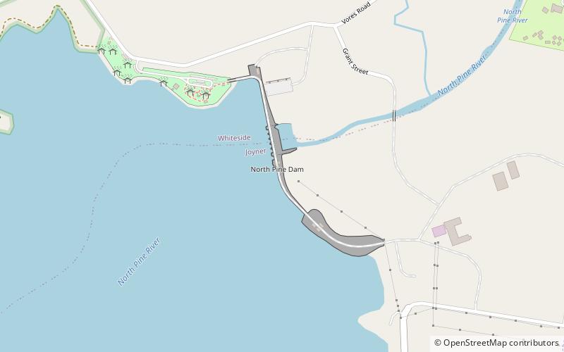
The North Pine Dam is a mass concrete gravity dam with earth-fill embankments on abutments with a gated spillway across the North Pine River that is located in the South East region of Queensland, Australia. The main purpose of the dam is for supply of potable water for the Moreton Bay region and Brisbane's northern suburbs. The impounded reservoir is called Lake Samsonvale. ()
Opened: 12 August 1976 (49 years ago)Length: 4511 ftHeight: 148 ftReservoir area: 8.49 mi²Coordinates: 27°15'52"S, 152°56'13"E
Day trips
North Pine Dam – popular in the area (distance from the attraction)
Nearby attractions include: Strathpine Centre, Sweeney's Reserve, North Coast Roadside Rest Areas, Sideling Creek Dam.


