Creek Street, Brisbane
Map

Gallery

Facts and practical information
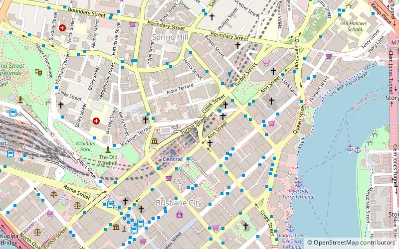
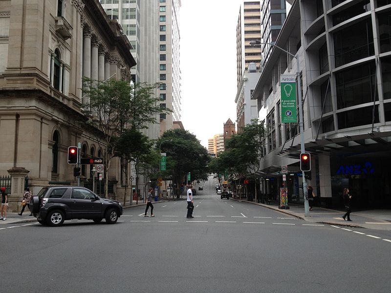
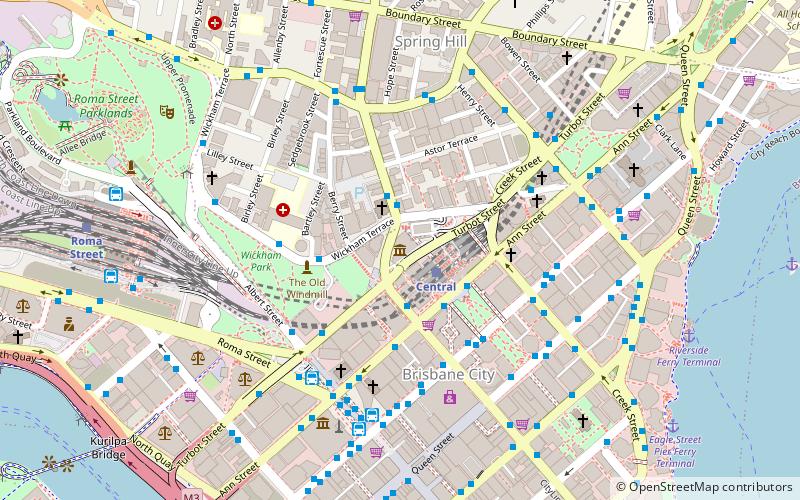
Creek Street is a major street in the central business district of Brisbane, Queensland, Australia. The street follows a one-way south–north direction, starting at the beginning of Charlotte Street and cutting through Elizabeth Street, Queen Street, Adelaide Street, and Ann Street before coming to an end at Turbot Street in the northern end of the CBD. Creek Street was named for the filled-in creek over which it was constructed, and is an exception to the convention of parallel streets in the CBD being named after male royals. ()
Coordinates: 27°27'53"S, 153°1'37"E
Address
Brisbane CityBrisbane
ContactAdd
Social media
Add
Day trips
Creek Street – popular in the area (distance from the attraction)
Nearby attractions include: Queen Street Mall, QueensPlaza, The Myer Centre, Brisbane Arcade.
Frequently Asked Questions (FAQ)
Which popular attractions are close to Creek Street?
Nearby attractions include St Andrew's Uniting Church, Brisbane (2 min walk), All Saints Anglican Church, Brisbane (2 min walk), Masonic Temple, Brisbane (2 min walk), Turbot Street, Brisbane (3 min walk).
How to get to Creek Street by public transport?
The nearest stations to Creek Street:
Bus
Train
Ferry
Bus
- Ann Street Stop 6A near Creek St • Lines: 470, 475, 476 (2 min walk)
- Wickham Terrace Stop 158 Stand A near Turbot St • Lines: 471, 475, 476 (2 min walk)
Train
- Central (3 min walk)
- Roma Street (14 min walk)
Ferry
- Eagle Street Pier Ferry Terminal • Lines: Chop-400, Xrvr-400 (10 min walk)
- Holman Street Ferry Terminal • Lines: Chop-400, Xrvr-400 (11 min walk)


