Bulla Bridge
Map

Map

Facts and practical information
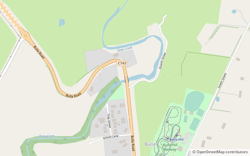
Bulla Bridge is a four span bluestone arched bridge over Deep Creek in the town of Bulla, north east of Melbourne. It was constructed in 1869 by McBurnie and Ramsden, for the Shire of Bulla to a design of Scottish-born engineer John C Climie and replaced a timber bridge built in about 1859. The bridge is 126 feet long and comprises four spans each of 27 feet. It is associated with a c.1843 road cutting and early ford which was on the main road to the Victorian gold fields. ()
Opened: 1869 (157 years ago)Coordinates: 37°37'52"S, 144°48'4"E
Location
Victoria
ContactAdd
Social media
Add
Day trips
Bulla Bridge – popular in the area (distance from the attraction)
Nearby attractions include: Watergardens Town Centre, Sunbury Square Shopping Centre, Greenvale Reservoir, Moonee Ponds Creek Trail.


