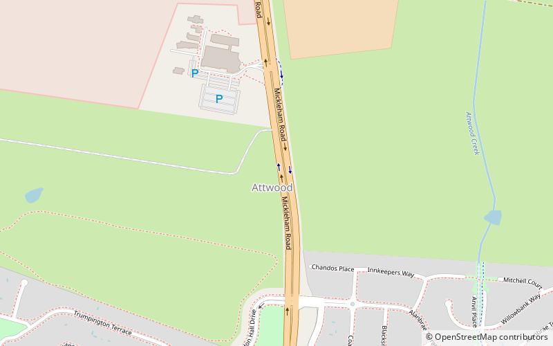
Mickleham Road, Melbourne
Map
Facts and practical information
Coordinates: 37°40'0"S, 144°53'6"E
Address
Hume (Attwood)Melbourne
ContactAdd
Social media
Add
Getting there by public transportation
Public transportation stops near this location
- Bus
 Bus
Bus
- Calculate routeMickleham Road 26 min walk
- Calculate routeNorth Circular Road 28 min walk
- Calculate routeNatya Court/Erinbank Crescent 28 min walk
- Calculate routeAlvie Court/Erinbank Crescent 31 min walk
Maps Melbourne TramsMaps
 Victoria Trains
Melbourne TramsMapsVictoria TrainsDay trips


Frequently Asked Questions (FAQ)
How to get to Mickleham Road by public transport?
The nearest stations to Mickleham Road:
Bus
Bus
- Mickleham Road • Lines: 901, 902 (26 min walk)
- North Circular Road • Lines: 901, 902 (28 min walk)