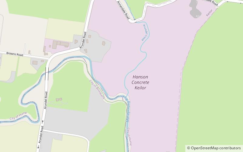
Keilor archaeological site, Melbourne
Map
Facts and practical information
The Keilor archaeological site was among the first places to demonstrate the antiquity of Aboriginal occupation of Australia when a cranium, unearthed in 1940, was found to be nearly 15,000 years old. Subsequent investigations of Pleistocene alluvial terraces revealed hearths about 31,000 years BP, making Keilor one of the earliest sites of human habitation in Australia. Remains of megafauna suggest a possible association with Aboriginal hunting. ()
Coordinates: 37°42'15"S, 144°50'16"E
Address
Brimbank (Keilor)Melbourne
ContactAdd
Social media
Add
Getting there by public transportation
Public transportation stops near this location
- Bus
 Bus
Bus
- Calculate routeAugustines Way/Old Calder Highway 27 min walk
- Calculate routeKeilor Shopping Centre/Old Calder Highway 27 min walk
- Calculate routeFlora Street/Old Calder Highway 29 min walk
- Calculate routeBurrowye Crescent/Old Calder Highway 30 min walk
Maps Melbourne TramsMaps
 Victoria Trains
Melbourne TramsMapsVictoria TrainsDay trips


Frequently Asked Questions (FAQ)
How to get to Keilor archaeological site by public transport?
The nearest stations to Keilor archaeological site:
Bus
Bus
- Augustines Way/Old Calder Highway • Lines: 476 (27 min walk)
- Keilor Shopping Centre/Old Calder Highway • Lines: 476 (27 min walk)