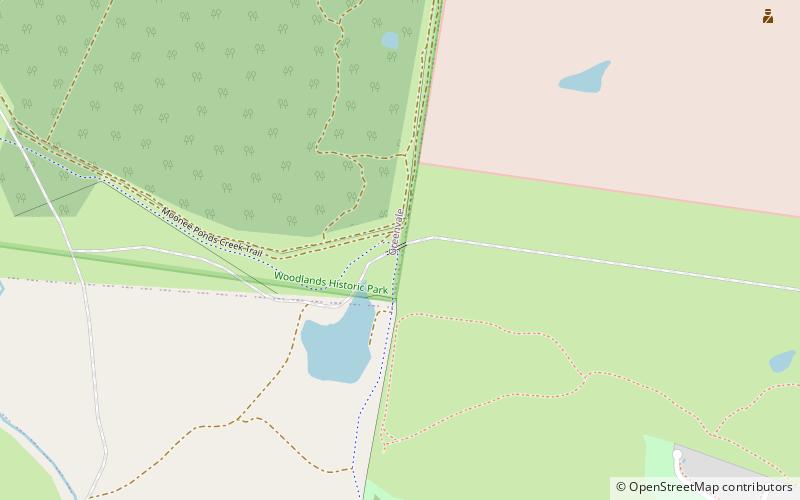
Moonee Ponds Creek Trail, Melbourne

Gallery (1)
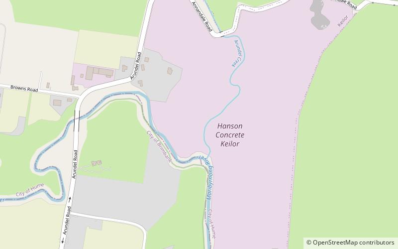
Map
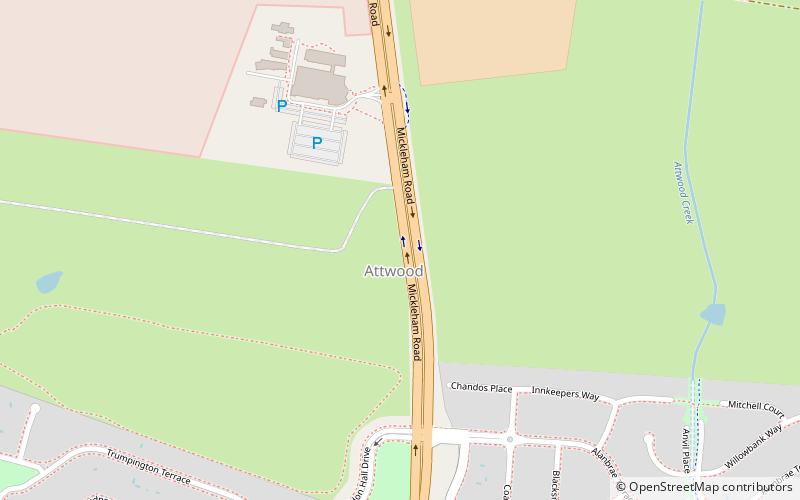
Map
Facts and practical information
Coordinates: 37°39'55"S, 144°52'9"E
Address
Hume (Attwood)Melbourne
ContactAdd
Social media
Add
Getting there by public transportation
Public transportation stops near this location
- Bus
 Bus
Bus
- Calculate routeSkybus T1 28 min walk
- Calculate routeMelbourne Airport 31 min walk
Maps Melbourne TramsMaps
 Victoria Trains
Melbourne TramsMapsVictoria TrainsDay trips


Frequently Asked Questions (FAQ)
How to get to Moonee Ponds Creek Trail by public transport?
The nearest stations to Moonee Ponds Creek Trail:
Bus
Bus
- Skybus T1 • Lines: SkyBus (28 min walk)
- Melbourne Airport • Lines: 478, 479, 482, 901 (31 min walk)