Malabar Headland, Sydney
Map

Map

Facts and practical information
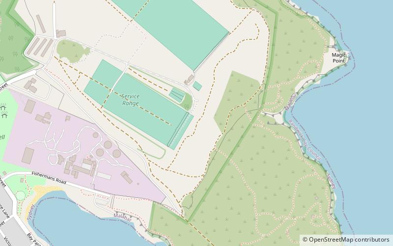
The Malabar Headland is a heritage-listed former public recreation area and military installation site and now nature conservation and public recreation headland area located at Franklin Street, Malabar in the City of Randwick local government area of New South Wales, Australia. It is also known as Long Bay Rifle Range, Anzac Rifle Range and Boora Point. The property is owned by the New South Wales Government. It was added to the New South Wales State Heritage Register on 22 July 2005. ()
Elevation: 121 ft a.s.l.Coordinates: 33°57'41"S, 151°15'33"E
Address
Eastern Suburbs (Malabar)Sydney
ContactAdd
Social media
Add
Day trips
Malabar Headland – popular in the area (distance from the attraction)
Nearby attractions include: Westfield Eastgardens, Wylie's Baths, Henry Head, Southpoint Shopping Centre.

 Sydney Trains
 Sydney Light Rail
 Sydney Ferries


