Kensington, Sydney
Map
Gallery
Facts and practical information
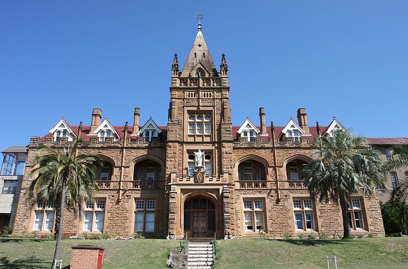
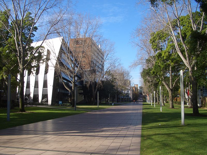
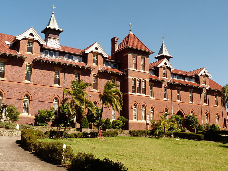
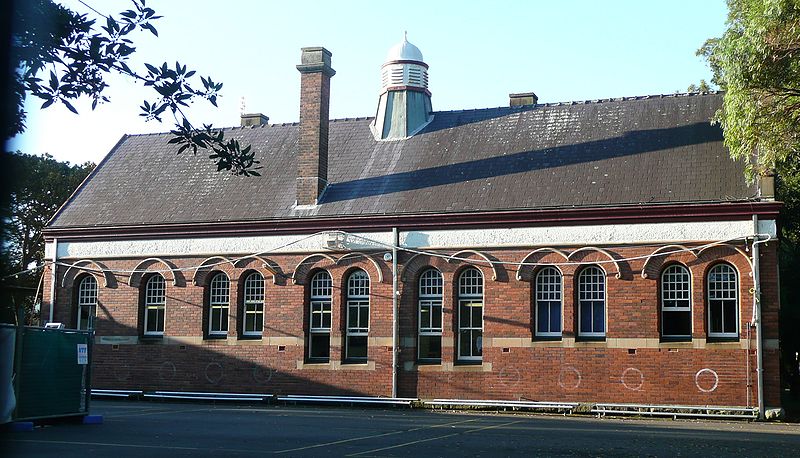
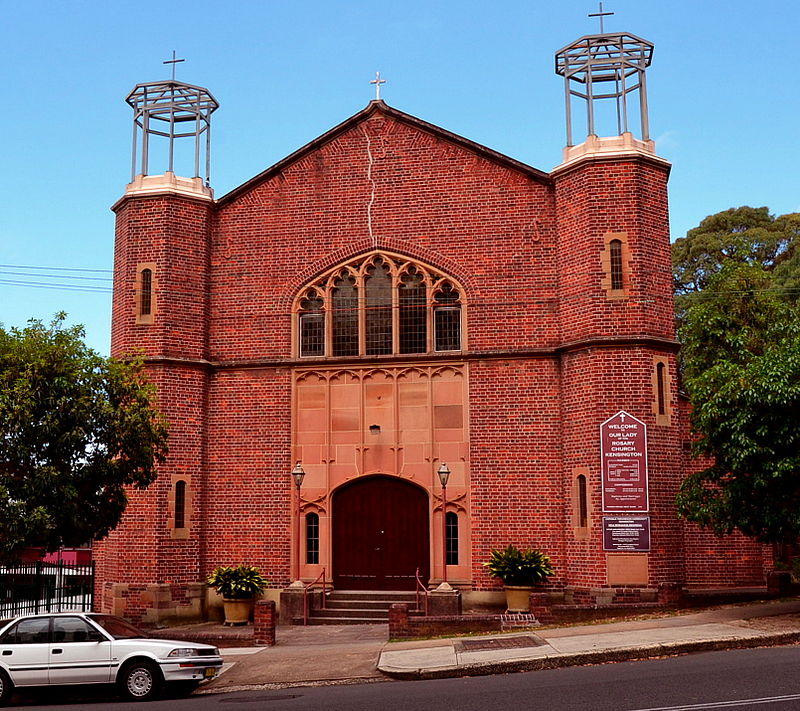
Kensington is a suburb in south-eastern Sydney, in the state of New South Wales, Australia. It is located 6 kilometres south-east of the Sydney central business district, in the local government area of the City of Randwick, in the Eastern Suburbs region. Colloquially, Kensington is referred to as "Kenso", "Ensington" or "Enso". ()
Address
Eastern Suburbs (Kensington)Sydney
ContactAdd
Social media
Add
Day trips
Kensington – popular in the area (distance from the attraction)
Nearby attractions include: Centennial Park, Redfern Park, Sydney Cricket Ground, Fox Studios Australia.
Frequently Asked Questions (FAQ)
Which popular attractions are close to Kensington?
Nearby attractions include Southern Cross Drive, Sydney (14 min walk), UNSW Bookshop, Sydney (19 min walk), Busby's Bore, Sydney (22 min walk).
How to get to Kensington by public transport?
The nearest stations to Kensington:
Light rail
Bus
Train
Light rail
- Kensington • Lines: L3 (3 min walk)
- ES Marks • Lines: L3 (7 min walk)
Bus
- Eastern Avenue Nr Day Avenue, Kensington • Lines: 302, 303 (15 min walk)
- Day Avenue Nr Mooramie Avenue, Kensington • Lines: 302, 303 (16 min walk)
Train
- Green Square (29 min walk)




 Sydney Trains
 Sydney Light Rail
 Sydney Ferries


