Lysterfield Park, Churchill National Park
Map

Map

Facts and practical information
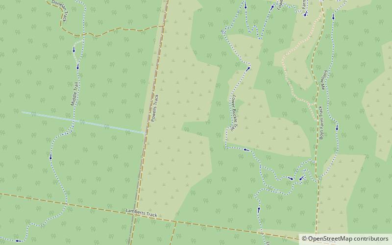
The Lysterfield Park is a public park located in the Greater Melbourne region of Victoria, Australia. The 1,398-hectare park is situated approximately 30 kilometres southeast of the Melbourne central business district, adjacent to the suburb of Lysterfield in the City of Casey. When combined with the adjacent Churchill National Park, the two parks comprise 1,668 hectares in the Dandenong Valley and the Dandenong Ranges that are a haven for native birds, mammals and reptiles, and provide recreational opportunities. ()
Established: 19 May 1981 (44 years ago)Area: 5.39 mi²Elevation: 289 ft a.s.l.Coordinates: 37°56'47"S, 145°17'56"E
Day trips
Lysterfield Park – popular in the area (distance from the attraction)
Nearby attractions include: Westfield Knox, Puffing Billy Railway, Albanian Mosque, Westfield Fountain Gate.


