Victoria Dam
Map

Map

Facts and practical information
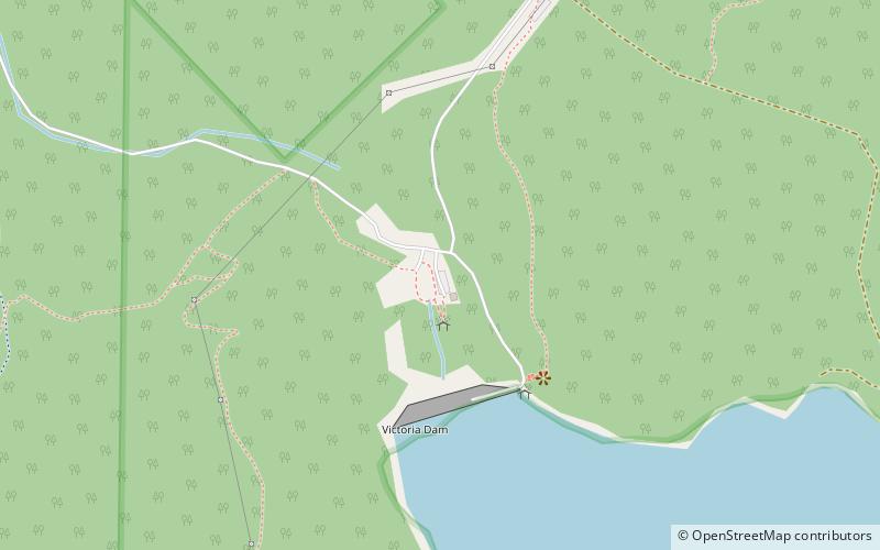
The Victoria Dam is a water supply dam providing water for the city of Perth, Western Australia. It is situated on the Darling Scarp near Lesmurdie, and crosses Munday Brook. Two dams have stood at the present site; the older dam was the first permanent water supply for the colony and also the first dam in Western Australia. It stood for almost 100 years before being replaced with the current dam. ()
Opened: 1 October 1891 (134 years ago)Length: 722 ftHeight: 75 ftReservoir area: 37.07 acres (0.0579 mi²)Coordinates: 32°2'25"S, 116°4'1"E
Location
Western Australia
ContactAdd
Social media
Add
Day trips
Victoria Dam – popular in the area (distance from the attraction)
Nearby attractions include: Lesmurdie Falls, Araluen Botanic Park, Perth Observatory, Forrestfield.


