Wattamolla
#773 among destinations in Australia

Facts and practical information
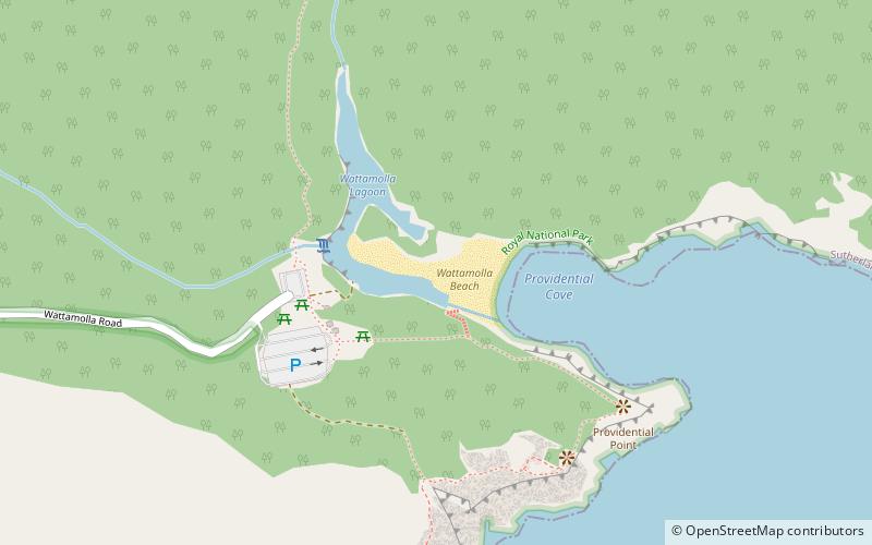
Wattamolla, also known as Wattamolla Beach, is a cove, lagoon, and beach on the New South Wales coast south of Sydney, within the Royal National Park. ()
New South WalesAustralia
Wattamolla – popular in the area (distance from the attraction)
Nearby attractions include: Audley historic recreational complex, Wedding Cake Rock, Cronulla Fisheries Centre, Marley Beach.
 Park
ParkAudley historic recreational complex, Royal National Park
141 min walk • Audley historic recreational complex is a heritage-listed recreation area at Sir Bertram Stevens & Audley Road, Audley, Sutherland Shire, New South Wales, Australia. It was built from 1879.
 Nature, Natural attraction, Rock
Wedding Cake Rock
71 min walk • Wedding Cake Rock, also known as White Rock, is a sandstone rock formation located in the Royal National Park near Bundeena, New South Wales, Australia, accessible via the Royal National Park Coast Track. The rock is one of many formations that appear north of Marley Beach, and is suspended 25 metres above sea level.
 Park
ParkCronulla Fisheries Centre, Royal National Park
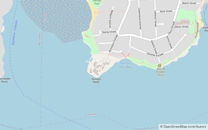
123 min walk • The Cronulla Fisheries Centre or Cronulla Fisheries Research Centre is a heritage-listed former fisheries research centre and now public reserve and marine rescue base located at the Southern end of Nicholson Parade, Cronulla, Sutherland Shire, New South Wales, Australia.
 Beach
BeachMarley Beach
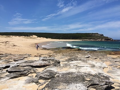
54 min walk • Marley Beach is an unpatrolled beach in the upper Royal National Park, on the outskirts of southern Sydney, Australia. The beach is one of eleven beaches located within the territory of the Royal National Park.
 Area
AreaSydney/Cronulla, Sydney
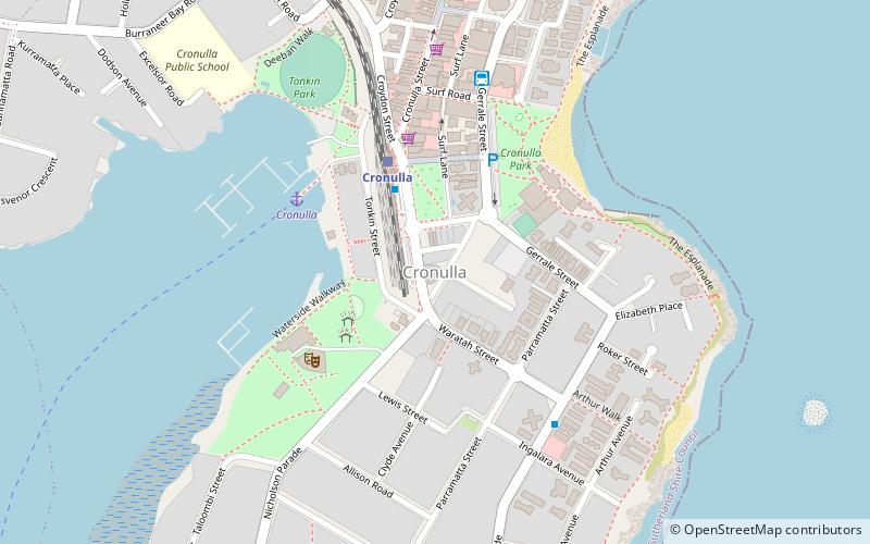
152 min walk • Cronulla is a suburb of Sydney, in the state of New South Wales, Australia. Boasting numerous surf beaches and swimming spots, the suburb attracts both tourists and Greater Sydney residents.
 Beach
BeachShelly Beach, Sydney
141 min walk • Shelly Beach is a beach on Bate Bay in Cronulla, New South Wales, Australia. Shelly Park sits behind the beach. Shelly Pavilion is located between the beach and the park.
 Beach
BeachGarie Beach
91 min walk • Garie Beach is a patrolled beach in the lower Royal National Park, on the outskirts of southern Sydney, Australia. The beach is one of eleven beaches located within the territory of the Royal National Park.
 Neighbourhood
Cronulla Post Office
150 min walk • Cronulla Post Office is a heritage-listed post office at 41 Cronulla Street, Cronulla, Sydney, New South Wales, Australia. It was designed by Edwin Hubert Henderson of the Commonwealth Department of Works and Railways and built in 1924. It was added to the Australian Commonwealth Heritage List on 22 August 2012.
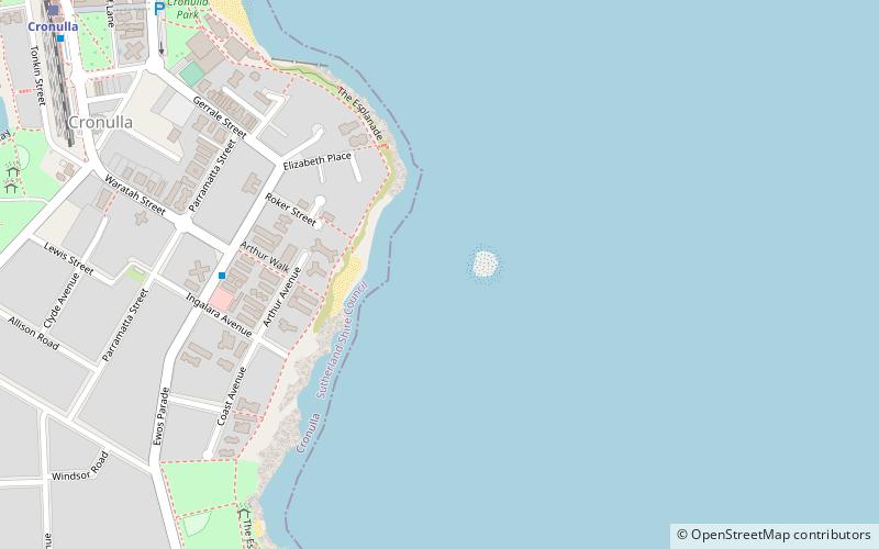 Island
Shark Island, Sydney
150 min walk • Shark Island is a dangerous reef break about 100 metres off Cronulla, New South Wales, Australia. It comprises a rock ledge that is fully exposed at low tide. The island is a well-known bodyboarding and surfing location. The wave can stand up fast and violently, making it difficult and dangerous.
 Beach
BeachBurning Palms
127 min walk • Burning Palms is an unbounded neighbourhood within the locality of Lilyvale and a beach in the Royal National Park, Wollongong, south of Sydney, New South Wales, Australia.
 Park
ParkWarumbul, Royal National Park
111 min walk • Warumbul is a locality in the Royal National Park on the outskirts of southern Sydney, in the state of New South Wales, Australia. Warumbul is located about 1.5 km southwest of Lilli Pilli on the southern side of Port Hacking. Warumbul is the site of an Anglican Youth Department Conference Centre operated by Anglican Youthworks.
