Walsh Bay, Sydney
Map
Facts and practical information
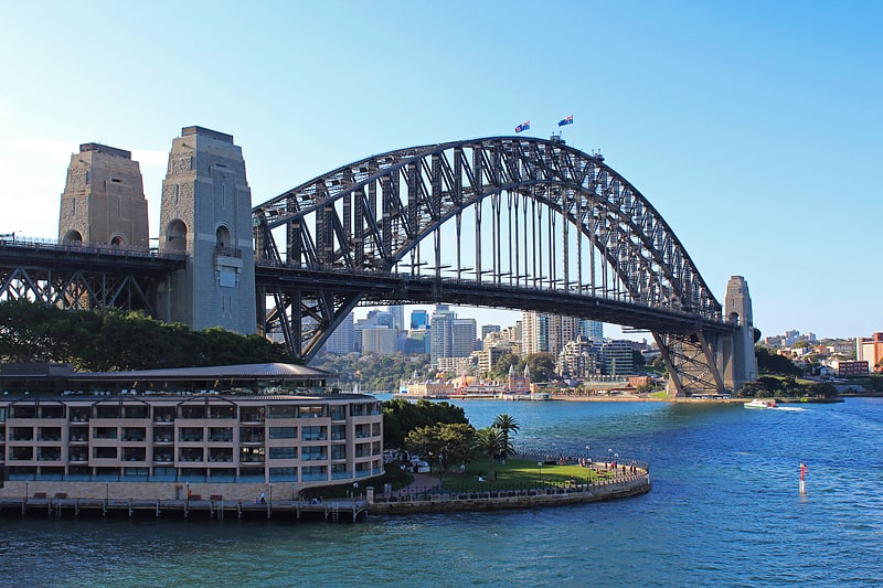
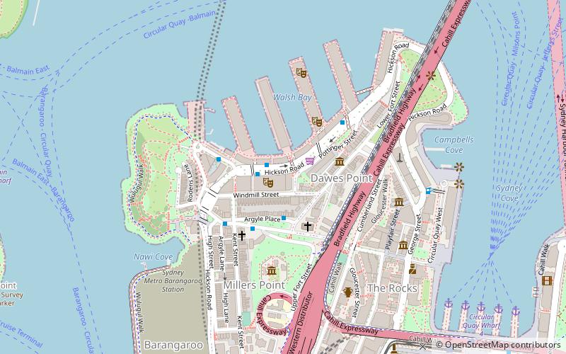
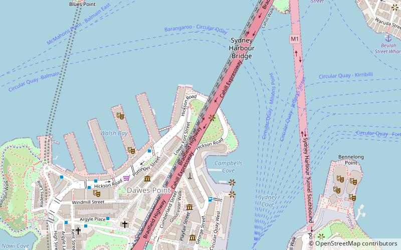
Walsh Bay is a bay within Port Jackson, about 1,000 metres south of the suburb McMahons Point. It is named after Henry Deane Walsh, Engineer-in-chief of the Sydney Harbour Trust. Walsh Bay is officially defined as that body of water that stretches from the Dawes Point in the north east, to the Millers Point in the southwest and the original shoreline has been altered to include developments now known as Piers 1 to 9. ()
Coordinates: 33°50'56"S, 151°12'4"E
Getting there by public transportation
Public transportation stops near this location
- Bus
- Light rail
- Train
- Ferry
 Bus
Bus
- Calculate routeMcMahons Point Wharf 9 min walk
- Calculate routeMilsons Point Wharf 14 min walk
- Calculate routeBalmain East Wharf 16 min walk
- Calculate routeBirchgrove 22 min walk
- Calculate routeNorth Sydney 17 min walk
- Calculate routeMilsons Point 17 min walk
- Calculate routeWaverton 20 min walk
- Calculate routeCircular Quay 26 min walk
- Calculate routeGas Works Numbers 1 and 2 19 min walk
- Calculate routeVictoria Cross 20 min walk
- Calculate routeLang Park 27 min walk
- Calculate routeStand A, Circular Quay, Alfred Street 28 min walk
- Calculate routeCircular Quay 26 min walk
- Calculate routeBridge Street 29 min walk
Maps Sydney TrainsMaps
 Sydney Light RailMaps
 Sydney Ferries
Sydney TrainsMapsSydney Light RailMapsSydney FerriesDay trips


Frequently Asked Questions (FAQ)
Which popular attractions are close to Walsh Bay?
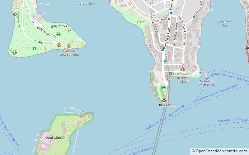
Nearby attractions include Blues Point Tower, Sydney (3 min walk), Blues Point Reserve, Sydney (4 min walk), Goat Island, Sydney (9 min walk), Balls Head Reserve, Sydney (10 min walk).
How to get to Walsh Bay by public transport?
The nearest stations to Walsh Bay:
Ferry
Train
Bus
Light rail
Ferry
- McMahons Point Wharf • Lines: F3, F4 (9 min walk)
- Milsons Point Wharf • Lines: F3, F4 (14 min walk)
Train
- North Sydney (17 min walk)
- Milsons Point (17 min walk)
Bus
- Gas Works Numbers 1 and 2 • Lines: 200, 290 (19 min walk)
- Victoria Cross • Lines: 200, 290 (20 min walk)
Light rail
- Circular Quay • Lines: L2, L3 (26 min walk)
- Bridge Street • Lines: L2, L3 (29 min walk)