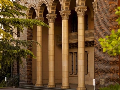
Yarraville Oval, Melbourne
Map
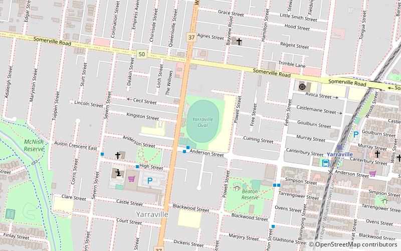
Map

Facts and practical information
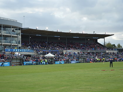
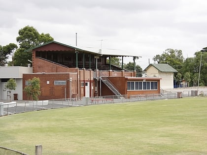
The Yarraville Oval is an Australian rules football and cricket ground located on the corner of Williamstown Road and Anderson Street in Yarraville, Victoria. It is currently the home ground of the Yarraville/Seddon Eagles Football Club and the Yarraville Cricket Club. ()
Coordinates: 37°48'54"S, 144°53'2"E
Address
Maribyrnong (Yarraville)Melbourne
ContactAdd
Social media
Add
Day trips
Yarraville Oval – popular in the area (distance from the attraction)
Nearby attractions include: Federation Trail, Whitten Oval, Yarraville, Main Yarra Trail.
Frequently Asked Questions (FAQ)
Which popular attractions are close to Yarraville Oval?
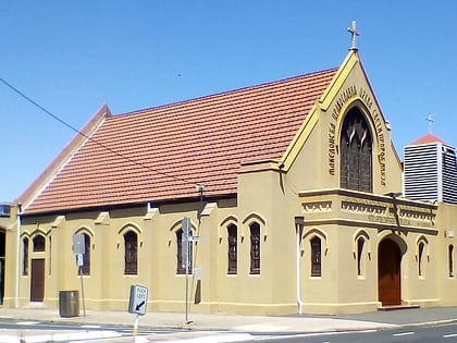
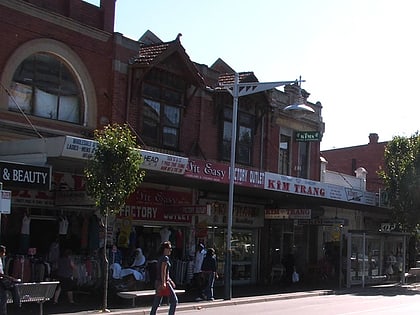
Nearby attractions include Yarraville, Melbourne (10 min walk), St. Prophet Ilija, Melbourne (22 min walk).
How to get to Yarraville Oval by public transport?
The nearest stations to Yarraville Oval:
Bus
Train
Tram
Bus
- Simpson St/Fehon St • Lines: 409, 432 (6 min walk)
- Blackwood St/Fehon St • Lines: 409, 432 (8 min walk)
Train
- Yarraville (9 min walk)
- Seddon (20 min walk)
Tram
- Stop 64: Footscray Station • Lines: 82 (34 min walk)
- Stop 62: Nicholson Street • Lines: 82 (35 min walk)
 Melbourne Trams
 Victoria Trains
