Pratten Park, Sydney
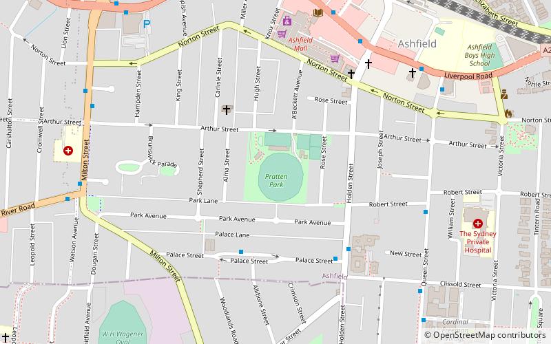
Map

Map

Facts and practical information
Opened: 12 September 1912 (113 years ago)Coordinates: 33°53'34"S, 151°7'23"E
Address
Arthur StInner West (Ashbury)Sydney 2131
ContactAdd
Social media
Add
Day trips
Pratten Park – popular in the area (distance from the attraction)
Nearby attractions include: Ashfield Mall, Burwood Plaza, Canterbury Olympic Ice Rink, Woodstock.
Frequently Asked Questions (FAQ)
Which popular attractions are close to Pratten Park?
Nearby attractions include Ashfield, Sydney (8 min walk), Ashfield Reservoir, Sydney (12 min walk), St John's, Sydney (22 min walk), Summer Hill, Sydney (23 min walk).
How to get to Pratten Park by public transport?
The nearest stations to Pratten Park:
Bus
Train
Light rail
Bus
- 213195 • Lines: 418 (8 min walk)
- Ashfield Shops • Lines: 418, 466 (9 min walk)
Train
- Ashfield (10 min walk)
- Croydon (21 min walk)
Light rail
- Waratah Mills • Lines: L1 (28 min walk)
- Arlington • Lines: L1 (28 min walk)

 Sydney Trains
 Sydney Light Rail
 Sydney Ferries


