Glebe Point Road, Sydney

Gallery (1)
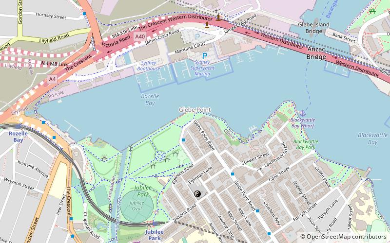
Map
Map
Facts and practical information
Coordinates: 33°52'18"S, 151°10'50"E
Address
Inner West (Glebe)Sydney
ContactAdd
Social media
Add
Getting there by public transportation
Public transportation stops near this location
- Bus
- Light rail
- Ferry
 Bus
Bus
- Calculate routeGlebe Point, Federal Rd 2 min walk
- Calculate routeBlackwattle Bay Wharf 7 min walk
- Calculate routePyrmont Bay Wharf 28 min walk
- Calculate routeDarling Harbour Wharf 1 32 min walk
- Calculate routeBarangaroo, Wharf 1 32 min walk
- Calculate routeJubilee Park 8 min walk
- Calculate routeRozelle Bay 12 min walk
- Calculate routeGlebe 15 min walk
- Calculate routeFish Market 18 min walk
Maps Sydney TrainsMaps
 Sydney Light RailMaps
 Sydney Ferries
Sydney TrainsMapsSydney Light RailMapsSydney FerriesDay trips


Frequently Asked Questions (FAQ)
Which popular attractions are close to Glebe Point Road?
Nearby attractions include Sydney Superyacht Marina, Sydney (5 min walk), Sze Yup Temple, Sydney (5 min walk), Glebe and Wentworth Park railway viaducts, Sydney (8 min walk), Anzac Bridge, Sydney (9 min walk).
How to get to Glebe Point Road by public transport?
The nearest stations to Glebe Point Road:
Bus
Ferry
Light rail
Bus
- Glebe Point, Federal Rd • Lines: 431 (2 min walk)
Ferry
- Blackwattle Bay Wharf (7 min walk)
- Pyrmont Bay Wharf • Lines: F4, Ferry (28 min walk)
Light rail
- Jubilee Park • Lines: L1 (8 min walk)
- Rozelle Bay • Lines: L1 (12 min walk)