Raheen, Melbourne

Gallery (1)
Map

Map
Facts and practical information
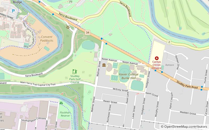
Raheen is a heritage-listed Italianate mansion located at 94 Studley Park Road in the Melbourne suburb of Kew, Victoria, Australia. Built in the 1870s, its name means "little fort" in Irish. Listed on the Victorian Heritage Register on 14 July 1982, Raheen is owned by members of the Pratt family and is the principal Australian residence for Anthony Pratt. ()
Coordinates: 37°48'19"S, 145°1'0"E
Address
Boroondara (Kew)Melbourne
ContactAdd
Social media
Add
Getting there by public transportation
Public transportation stops near this location
- Bus
- Tram
- Train
 Bus
Bus
- Calculate routeCaritas Christi Hospice/Studley Park Road 2 min walk
- Calculate routeHume Street/Studley Park Road 5 min walk
- Calculate routeCarson Street/Studley Park Road 5 min walk
- Calculate routeWalmer Street/Studley Park Road 8 min walk
- Calculate routeStop 25: River Boulevard 13 min walk
- Calculate routeStop 24: Victoria Gardens Shopping Centre 15 min walk
- Calculate routeStop 27: Findon Street 15 min walk
- Calculate routeHawthorn 31 min walk
- Calculate routeGlenferrie 40 min walk
- Calculate routeClifton Hill 42 min walk
Maps Melbourne TramsMaps
 Victoria Trains
Melbourne TramsMapsVictoria TrainsDay trips


Frequently Asked Questions (FAQ)
Which popular attractions are close to Raheen?
Nearby attractions include Villa Alba Museum (8 min walk), Victoria Bridge, Melbourne (13 min walk), D'Estaville, Melbourne (14 min walk), Collingwood Children's Farm, Melbourne (16 min walk).
How to get to Raheen by public transport?
The nearest stations to Raheen:
Bus
Tram
Train
Bus
- Caritas Christi Hospice/Studley Park Road • Lines: 200, 207 (2 min walk)
- Hume Street/Studley Park Road • Lines: 200, 207 (5 min walk)
Tram
- Stop 25: River Boulevard • Lines: 109, 109d (13 min walk)
- Stop 24: Victoria Gardens Shopping Centre • Lines: 109, 109d, 12, 12d (15 min walk)
Train
- Hawthorn (31 min walk)
- Glenferrie (40 min walk)