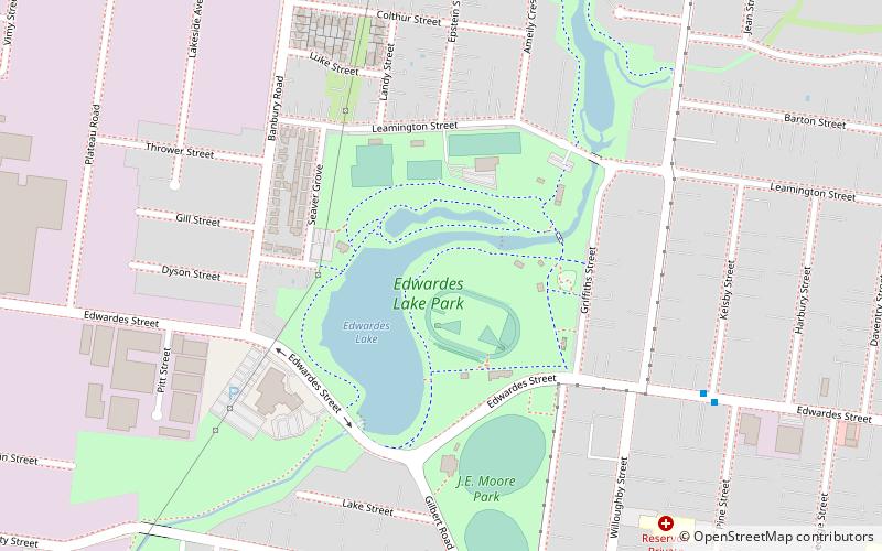
Edwardes Lake, Melbourne
Map
Facts and practical information
Edwardes Lake is a recreational waterbody in the Melbourne, Australia, suburb of Reservoir, formed by the damming of Edgars Creek at Edwardes Street. it is surrounded by Edwardes Lake Park. ()
Elevation: 259 ft a.s.l.Coordinates: 37°42'49"S, 144°59'34"E
Address
Darebin (Reservoir)Melbourne
ContactAdd
Social media
Add
Getting there by public transportation
Public transportation stops near this location
- Bus
- Tram
- Train
 Bus
Bus
- Calculate routeKelsby Street/Edwardes Street 8 min walk
- Calculate routeHenty Street/Gilbert Road 9 min walk
- Calculate routeView Street/Gilbert Road 11 min walk
- Calculate routeKia Ora Road/Gilbert Road 12 min walk
- Calculate routeReservoir 21 min walk
- Calculate routeRuthven 26 min walk
- Calculate routeRegent 30 min walk
- Calculate routeStop 47: Regent Street 28 min walk
- Calculate routeStop 46: McNamara Street 29 min walk
Maps Melbourne TramsMaps
 Victoria Trains
Melbourne TramsMapsVictoria TrainsDay trips


Frequently Asked Questions (FAQ)
How to get to Edwardes Lake by public transport?
The nearest stations to Edwardes Lake:
Bus
Train
Tram
Bus
- Kelsby Street/Edwardes Street • Lines: 553, 561 (8 min walk)
- Henty Street/Gilbert Road • Lines: 553 (9 min walk)
Train
- Reservoir (21 min walk)
- Ruthven (26 min walk)
Tram
- Stop 47: Regent Street • Lines: 11, 11d (28 min walk)
- Stop 46: McNamara Street • Lines: 11 (29 min walk)