Webb Dock, Melbourne
Map

Map

Facts and practical information
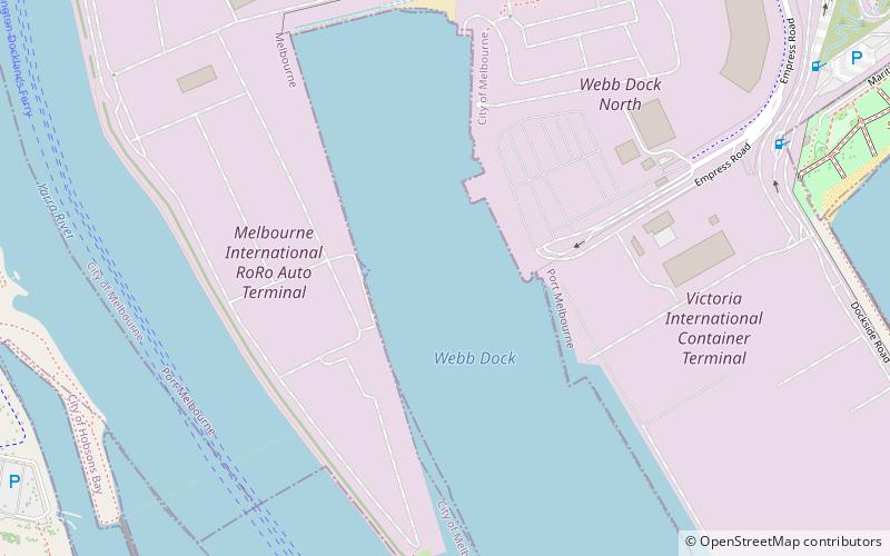
Webb Dock is a port facility at Fishermans Bend in Melbourne, Victoria constructed progressively from 1960, by dredging and land fill at the mouth of the Yarra River. It includes roll-on/roll-off facilities handling motor vehicle import and export and break bulk commodities and a container terminal. The dock is named after John Percival Webb OBE, a former Melbourne Harbor Trust commissioner. ()
Coordinates: 37°50'35"S, 144°54'21"E
Address
Melbourne
ContactAdd
Social media
Add
Day trips
Webb Dock – popular in the area (distance from the attraction)
Nearby attractions include: Newport Railway Museum, Main Yarra Trail, Scienceworks, Port Melbourne.
Frequently Asked Questions (FAQ)
How to get to Webb Dock by public transport?
The nearest stations to Webb Dock:
Bus
Train
Bus
- Perce White Reserve • Lines: 236 (16 min walk)
- Sandridge Life Saving Club/The Boulevard • Lines: 236 (17 min walk)
Train
- North Williamstown (35 min walk)
- Spotswood (36 min walk)

 Melbourne Trams
 Victoria Trains


