Thomastown Mosque, Melbourne

Gallery (5)
Map

Map

Gallery
Facts and practical information
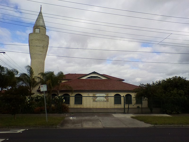
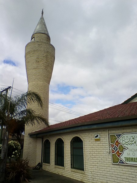
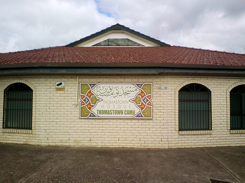
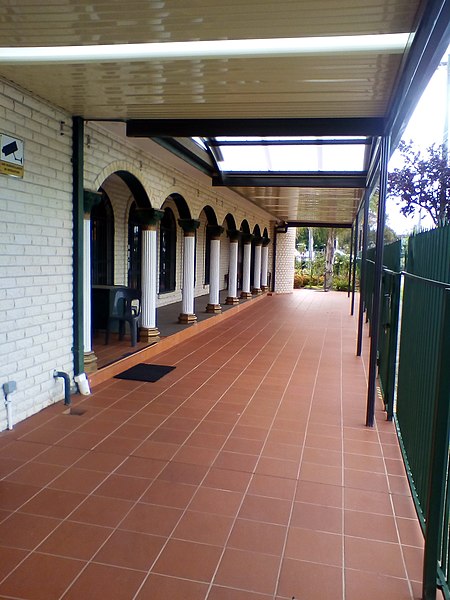
The Thomastown Mosque, is a mosque located in Thomastown, a northern suburb of Melbourne, Victoria, Australia. The mosque is situated opposite the railway line and Thomastown railway station. Associated with the Turkish Australian community, the mosque is owned by and the centre of the Thomastown Turkish Education and Islamic Society. ()
Coordinates: 37°40'53"S, 145°0'54"E
Address
Whittlesea (Thomastown)Melbourne
ContactAdd
Social media
Add
Getting there by public transportation
Public transportation stops near this location
- Bus
- Train
 Bus
Bus
- Calculate routeThomastown Station/High Street 2 min walk
- Calculate routeThomastown Station/Station St 3 min walk
- Calculate routeSpring Street/High Street 4 min walk
- Calculate routeWilgah St/The Boulevard 7 min walk
- Calculate routeThomastown 2 min walk
- Calculate routeKeon Park 23 min walk
- Calculate routeLalor 28 min walk
Maps Melbourne TramsMaps
 Victoria Trains
Melbourne TramsMapsVictoria TrainsDay trips


Frequently Asked Questions (FAQ)
How to get to Thomastown Mosque by public transport?
The nearest stations to Thomastown Mosque:
Bus
Train
Bus
- Thomastown Station/High Street • Lines: 554, 555, 557 (2 min walk)
- Thomastown Station/Station St • Lines: 570 (3 min walk)
Train
- Thomastown (2 min walk)
- Keon Park (23 min walk)