Erskine Link, Perth
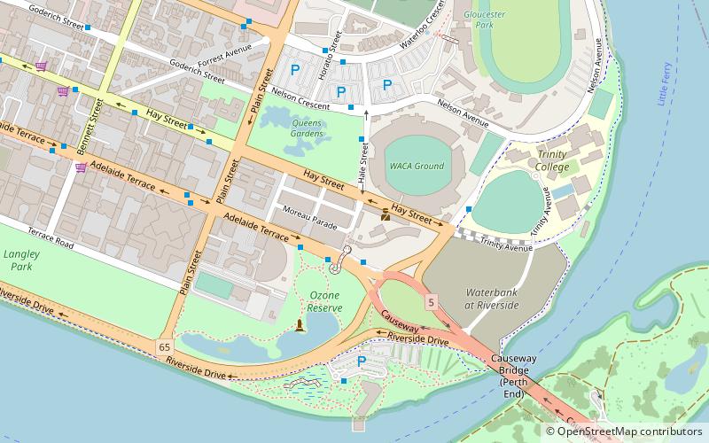
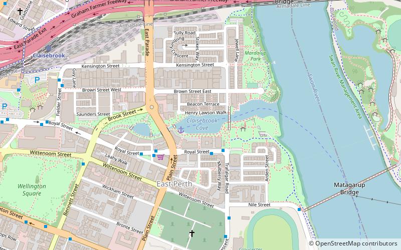
Map
Facts and practical information
Erskine Link, once known as Bay Street, is situated in East Perth between Hay Street and Adelaide Terrace. ()
Coordinates: 31°57'40"S, 115°52'41"E
Address
East PerthPerth
ContactAdd
Social media
Add
Getting there by public transportation
Public transportation stops near this location
- Bus
- Train
- Ferry
 Bus
Bus
- Calculate routeAdelaide Terrace Westend Causeway 2 min walk
- Calculate routeWaca 5 min walk
- Calculate routeDon Aitken Centre 6 min walk
- Calculate routeClaisebrook 22 min walk
- Calculate routeMcIver 24 min walk
- Calculate routePerth Stadium 30 min walk
- Calculate routeEast Perth 30 min walk
- Calculate routeBarrack Street Jetty 29 min walk
Day trips


Frequently Asked Questions (FAQ)
Which popular attractions are close to Erskine Link?
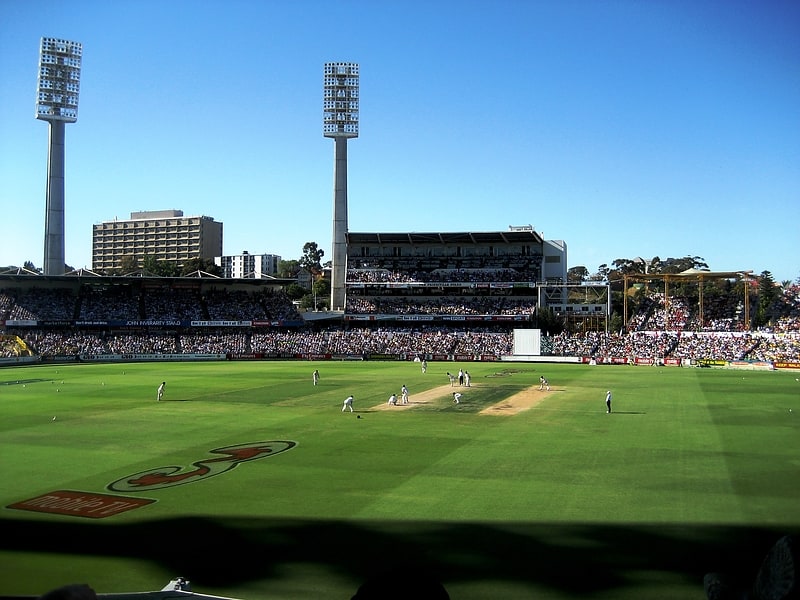
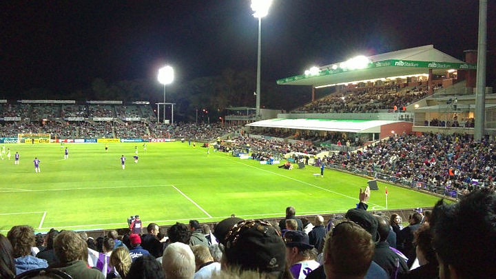
Nearby attractions include Queens Gardens, Perth (4 min walk), WACA Ground, Perth (4 min walk), East Perth Cemetery, Perth (10 min walk), Gloucester Park, Perth (10 min walk).
How to get to Erskine Link by public transport?
The nearest stations to Erskine Link:
Bus
Train
Ferry
Bus
- Adelaide Terrace Westend Causeway • Lines: 288, 293, 930 (2 min walk)
- Waca • Lines: 2 (5 min walk)
Train
- Claisebrook (22 min walk)
- McIver (24 min walk)
Ferry
- Barrack Street Jetty • Lines: Express (29 min walk)